Dunsmuir in Siskiyou County, California — The American West (Pacific Coastal)
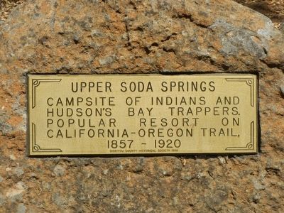
Upper Soda Springs
Erected 1986 by Siskiyou County Historical Society.
Topics. This historical marker is listed in this topic list: Natural Features.
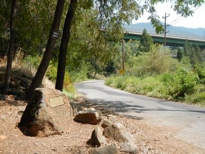
Location. 41° 13.268′ N, 122° 16.538′ W. Marker is in Dunsmuir, California, in Siskiyou County. Marker is on Upper Soda Springs Road near Stagecoach Road, on the left when traveling east. Touch for map. Marker is at or near this postal address: 4350 Upper Soda Springs Road, Dunsmuir CA 96025, United States of America. Touch for directions.
Other nearby markers. At least 8 other markers are within 7 miles of this marker, measured as the crow flies. Locomotive 1727 (approx. ¼ mile away); Babe Ruth Played Here (approx. ¼ mile away); The Alexander Dunsmuir Fountain (approx. ¼ mile away); Dunsmuir World War Memorial (approx. 0.7 miles away); A Relic from the Old Logging Days (approx. 5.6 miles away); Battle Rock (approx. 5.6 miles away); Berryvale Post Office (approx. 6.6 miles away); Strawberry Valley Stage Station (approx. 6.6 miles away). Touch for a list and map of all markers in Dunsmuir.
More about this marker. The marker is on Upper Soda Springs Road beneath the Interstate 5 overpass.
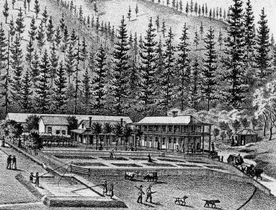
Also see . . . Upper Soda Springs - Wikipedia. The Upper Soda Springs site contains a riparian ecosystem and includes its namesake mineral water springs. In large part because of its location on the Siskiyou Trail, the site mirrors the history of the state and of the American West. (Submitted on September 27, 2015, by Barry Swackhamer of Brentwood, California.)
Credits. This page was last revised on June 16, 2016. It was originally submitted on September 27, 2015, by Barry Swackhamer of Brentwood, California. This page has been viewed 577 times since then and 37 times this year. Photos: 1, 2, 3. submitted on September 27, 2015, by Barry Swackhamer of Brentwood, California.


