Mammoth in Yellowstone National Park in Park County, Wyoming — The American West (Mountains)
Echinus
Acidic Geyser
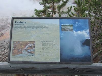
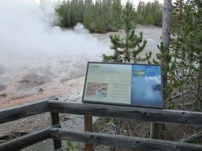
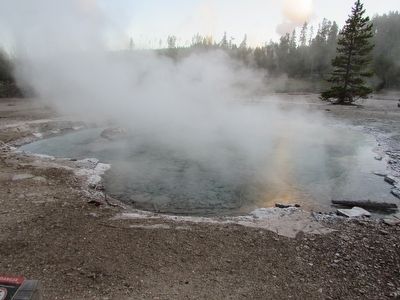
Millions of spine-shaped deposits surround Echinus Geyser. Iron, arsenic, manganese, and aluminum are all found in the acidic fountain of water that showers the landscape. With each eruption, these metals help build miniature rust-colored sinter spines.
Expect the Unexpected
• From 1878 to 1948, Echinus Geyser rarely erupted. Since then, the geyser has fluctuated between periods of activity and dormancy.
• For many decades, Echinus has surprised observers with changes in eruption heights, lengths, and intervals.
• Echinus erupted quite regularly for several years during the 1990s.
• Eruptions can occur hours, days, or even months apart.
Echinus was named in 1878 when mineralogist Dr. Albert Peale studied the geyser’s deposits. They reminded him of the spines on echinoderms – starfish and sea urchins.
Erected by National Park Service.
Topics. This historical marker is listed in this topic list: Natural Features.
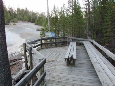
Location. 44° 43.31′ N, 110° 42.135′ W. Marker is in Yellowstone National Park, Wyoming, in Park County. It is in Mammoth. Marker can be reached from Grand Loop Road, on the right when traveling north. Marker is located in the Back Basin section of Norris Geyser Basin. Touch for map. Marker is in this post office area: Yellowstone National Park WY 82190, United States of America. Touch for directions.
Other nearby markers. At least 8 other markers are within walking distance of this marker. Echinus (within shouting distance of this marker); Steamboat Geyser (about 700 feet away, measured in a direct line); Cistern Spring (about 700 feet away); Porkchop Geyser (approx. ¼ mile away); Minute Geyser (approx. ¼ mile away); Emerald Spring (approx. 0.3 miles away); a different marker also named Porkchop Geyser (approx. 0.3 miles away); The Norris Area (approx. 0.3 miles away). Touch for a list and map of all markers in Yellowstone National Park.
More about this marker. A photograph of an erupting Echinus Geyser appears on the right side of the marker. A smaller picture of the geyser’s runoff has a caption of “Water spills into Tantalus Creek during each eruption, then flows into the Gibbon River.”
Credits. This page was last revised on February 16, 2023. It was originally submitted on September 27, 2015, by Bill Coughlin of Woodland Park, New Jersey. This page has been viewed 307 times since then and 19 times this year. Photos: 1, 2, 3, 4. submitted on September 27, 2015, by Bill Coughlin of Woodland Park, New Jersey.


