Wheatland in Platte County, Wyoming — The American West (Mountains)
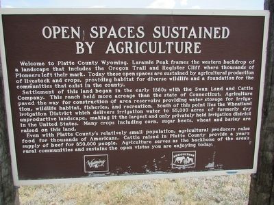
Open Spaces Sustained by Agriculture
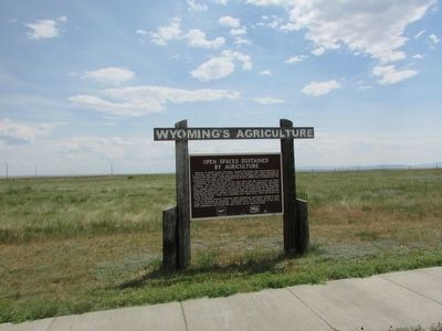
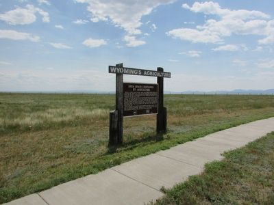
Wyoming’s Agriculture
Welcome to Platte County Wyoming. Laramie Peak frames the western backdrop of a landscape that includes the Oregon Trail and Register Cliff where thousands of Pioneers left their mark. Today these open spaces are sustained by agricultural production of livestock and crops, providing habitat for diverse wildlife and a foundation for the communities that exist in the county.
Settlement of this land began in the early 1880s with the Swan Land and Cattle Company. This ranch held more acreage than the state of Connecticut. Agriculture paved the way for construction of the area reservoirs providing water storage for irrigation, wildlife habitat, fisheries, and recreation. South of this point lies the Wheatland Irrigation District which delivers irrigation water to 55,000 acres of formerly dry unproductive landscape, making it the largest and only privately held irrigation district in the United States. Many crops including corn, sugar beets, wheat and barley are raised on this land.
Even with Platte County’s relatively small population, agricultural producers raise food for thousands of Americans. Cattle raised in Platte County provide a year’s supply of beef for 850,000 people. Agriculture serves as the backbone of the area’s rural communities and sustains the open vistas you are enjoying today.
Erected by State of Wyoming.
Topics. This historical marker is listed in this topic list: Agriculture.
Location. 42° 14.008′ N, 105° 1.232′ W. Marker is in Wheatland, Wyoming, in Platte County. Marker is at the intersection of Interstate 26 and U.S. 26, on the left when traveling south on Interstate 26. Marker is located in the Dwyer Junction Rest Area. Touch for map. Marker is in this post office area: Wheatland WY 82201, United States of America. Touch for directions.
Other nearby markers. At least 6 other markers are within 10 miles of this marker, measured as the crow flies. Wildlife Diversity (about 400 feet away, measured in a direct line); Laramie Peak (about 500 feet away); Jacques La Ramie (approx. 8.4 miles away); Firewood & Cool Water (approx. 8.7 miles away); Oregon Trail (approx. 8.7 miles away); a different marker also named Oregon Trail (approx. 10 miles away).
Credits. This page was last revised on June 16, 2016. It was originally submitted on September 28, 2015, by Bill Coughlin of Woodland Park, New Jersey. This page has been viewed 322 times since then and 9 times this year. Photos: 1, 2, 3. submitted on September 28, 2015, by Bill Coughlin of Woodland Park, New Jersey.


