Near Capulin in Union County, New Mexico — The American Mountains (Southwest)
Making A Monument
Photographed by Mark Hilton, September 15, 2015
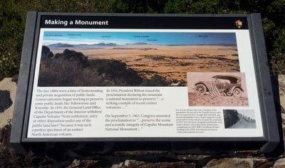
1. Making A Monument Marker
The late 1800s were a time of homesteading and private acquisition of public lands. Conservationists began working to preserve some public lands like Yellowstone and Yosemite. In 1891, the General Land Office of the Department of the Interior withdrew Capulin Volcano "from settlement, entry or disposition under any of the public land laws" because it was such a perfect specimen of an extinct North American volcano.
In 1916, President Wilson issued the proclamation declaring the mountain a national monument to preserve "…a striking example of recent extinct volcanoes …"
On September 5, 1962, Congress amended the proclamation to "… preserve the scenic and scientific integrity of Capulin Mountain National Monument.
Erected by National Park Service, U.S. Department of the Interior.
Topics and series. This historical marker and monument is listed in these topic lists: Natural Features • Notable Places. In addition, it is included in the Former U.S. Presidents: #28 Woodrow Wilson series list. A significant historical date for this entry is September 5, 1962.
Location. 36° 46.946′ N, 103° 58.343′ W. Marker is near Capulin, New
this page online

Regionally, this marker and monument is in Eastern New Mexico. It is also in the American Southwest, in the Mountain West, on the Great Plains, on the Southern Plains, on the High Plains, and on the Santa Fe Trail Corridor. Globally, it is in North America, the Rocky Mountains, the Western Hemisphere, the Western World, and the Anglosphere. Historically, it finds itself in what was once New Spain, the Comanchería, the Dust Bowl, and the Republic of Texas.
Other nearby markers. At least 8 other markers are within 7 miles of this marker, measured as the crow flies: The Raton-Clayton Volcanic Field (here, next to this marker); Grasslands Meet Mountains (a few steps from this marker); Building a Cinder Cone (within shouting distance of this marker); Welcome to Capulin Volcano National Monument (approx. half a mile away); Capulin Volcano National Monument (approx. 2.6 miles
Photographed by Mark Hilton, September 15, 2015
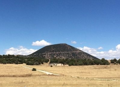
2. Capulin Volcano National Monument
Also see . . . Wikipedia article on the National Monument. (Submitted on October 1, 2015, by Mark Hilton of Montgomery, Alabama.)
Photographed by Mark Hilton, September 15, 2015
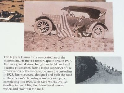
3. Making A Monument photo from marker.
Photographed by Mark Hilton, September 15, 2015
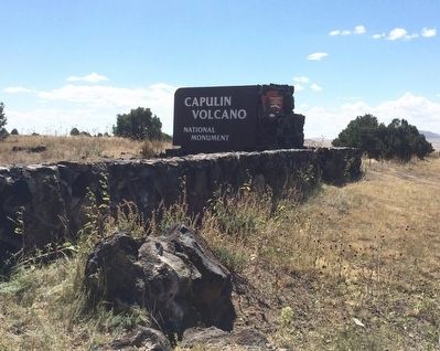
4. Capulin Volcano Monument entrance.
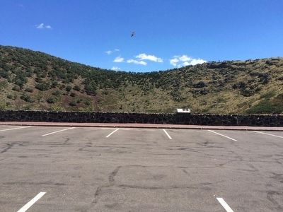
Photographed by Mark Hilton, September 15, 2015
5. What is left of the volcano cone.
Credits. This page was last revised on June 6, 2024. It was originally submitted on October 1, 2015, by Mark Hilton of Montgomery, Alabama. This page has been viewed 619 times since then and 29 times this year. Photos: 1, 2, 3, 4, 5. submitted on October 1, 2015, by Mark Hilton of Montgomery, Alabama.
