Near Capulin in Union County, New Mexico — The American Mountains (Southwest)
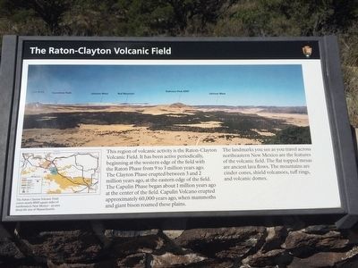
The Raton-Clayton Volcanic Field
Photographed by Mark Hilton, September 15, 2015
1. The Raton-Clayton Volcanic Field Marker
The landmarks you see as you travel across northeastern New Mexico are the features of the volcanic field. The flat topped mesas are ancient lava flows. The mountains are cinder cones, shield volcanos, tuff rings, and volcanic domes.
Erected by National Park Service, Department of the Interior.
Topics. This historical marker is listed in these topic lists: Natural Features • Notable Places.
Location. 36° 46.949′ N, 103° 58.343′ W. Marker is near Capulin, New Mexico, in Union County. It is on Volcano Road 2.6 miles east of State Road 325, on the right when traveling south. Touch for map. Marker is at or near this postal address: 46 Volcano Road, Capulin NM 88414, United States of
this page online

Regionally, this marker is in Eastern New Mexico. It is also in the American Southwest, in the Mountain West, on the Great Plains, on the Southern Plains, on the High Plains, and on the Santa Fe Trail Corridor. Globally, it is in North America, the Rocky Mountains, the Western Hemisphere, the Western World, and the Anglosphere. Historically, it finds itself in what was once New Spain, the Comanchería, the Dust Bowl, and the Republic of Texas.
Other nearby markers. At least 8 other markers are within 7 miles of this marker, measured as the crow flies: Making A Monument (here, next to this marker); Grasslands Meet Mountains (a few steps from this marker); Building a Cinder Cone (a few steps from this marker); Welcome to Capulin Volcano National Monument (approx. half a mile away); Capulin Volcano National Monument (approx. 2.6 miles away); a different marker also named Capulin Volcano National Monument (approx. 3.1 miles away); Sarah "Sally" J. Rooke / New Mexico Historic Women Marker Initiative (approx. 5.3 miles away); Sierra Grande (approx. 6.8 miles away). Touch for a list and map
Photographed by Mark Hilton, September 15, 2015
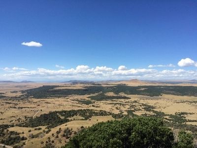
2. The Raton-Clayton Volcanic Field
Photographed by Mark Hilton, September 15, 2015
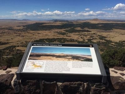
3. Marker and view of field.
Photographed by Mark Hilton, September 15, 2015
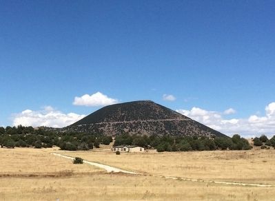
4. Capulin Volcano
Credits. This page was last revised on September 24, 2020. It was originally submitted on October 1, 2015, by Mark Hilton of Montgomery, Alabama. This page has been viewed 1,029 times since then and 53 times this year. Photos: 1, 2, 3, 4. submitted on October 1, 2015, by Mark Hilton of Montgomery, Alabama.
