Near Capulin in Union County, New Mexico — The American Mountains (Southwest)
Building a Cinder Cone
Photographed by Mark Hilton, September 15, 2015
1. Building a Cinder Cone Marker
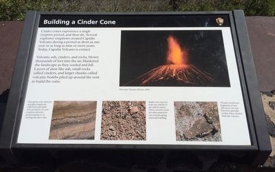
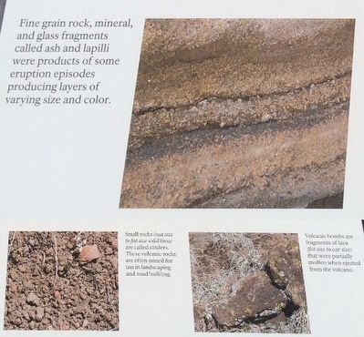
Volcanic ash, cinders, and rocks, blown thousand of feet into the air, blanketed the landscape as they cooled and fell. Layers of dust-like ash, small rocks called cinders, and larger chunks called volcanic bombs piled up around the vent to build the cone.
Erected by National Park Service, Department of the Interior.
Topics. This historical marker is listed in these topic lists: Natural Features • Natural Resources.
Location. 36° 46.951′ N, 103° 58.328′ W. Marker is near Capulin, New Mexico, in Union County. It is on Volcano Road 2.6 miles south of State Road 325, on the left when traveling south. Touch for map. Marker is at or near this postal address: 46 Volcano Road, Capulin NM 88414, United States of America. Touch for directions.

Regionally, this marker is in Eastern New Mexico. It is also in the American Southwest, in the Mountain
this page online
Other nearby markers. At least 8 other markers are within 7 miles of this marker, measured as the crow flies: Grasslands Meet Mountains (a few steps from this marker); The Raton-Clayton Volcanic Field (a few steps from this marker); Making A Monument (within shouting distance of this marker); Welcome to Capulin Volcano National Monument (approx. half a mile away); Capulin Volcano National Monument (approx. 2.6 miles away); a different marker also named Capulin Volcano National Monument (approx. 3.1 miles away); Sarah "Sally" J. Rooke / New Mexico Historic Women Marker Initiative (approx. 5.3 miles away); Sierra Grande (approx. 6.7 miles away). Touch for a list and map of all markers in Capulin.
Photographed by Mark Hilton, September 15, 2015
2. Photos from Cone marker.
Photographed by Mark Hilton, September 15, 2015
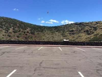
3. Capulin Volcano cone.
Photographed by Mark Hilton, September 15, 2015
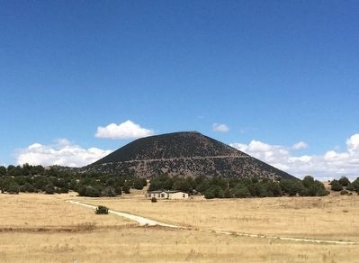
4. Capulin Volcano
Credits. This page was last revised on June 16, 2016. It was originally submitted on October 1, 2015, by Mark Hilton of Montgomery, Alabama. This page has been viewed 710 times since then and 35 times this year. Photos: 1, 2, 3, 4. submitted on October 1, 2015, by Mark Hilton of Montgomery, Alabama.
