Vicksburg National Military Park in Warren County, Mississippi — The American South (East South Central)
Thayer's Approach.
U.S.
Photographed by Brandon Fletcher, November 28, 2008
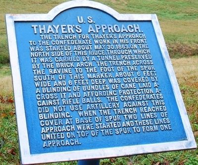
1. Thayer's Approach Marker
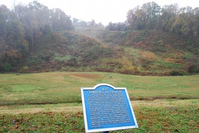
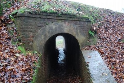
The trench for Thayer's Approach to the Confederate work in his front was started about May 30, 1863, on the north side of this ridge, through which it was carried by a tunnel. Preserved by the brick arch. The trench across the ravine to the foot of the spur south of this marker, about 6 feet wide and 6 feet deep, was covered by a blinding of bundles of can laid across it and affording protection against rifle balls. The Confederates did not use artillery against this blinding. When the trench reached cover at the base of spur two lines of approach were started and these lines united on top of the spur to form one approach.
Topics. This historical marker is listed in this topic list: War, US Civil. A significant historical date for this entry is May 30, 1863.
Location. 32° 22.446′ N, 90° 50.998′ W. Marker is in Vicksburg National Military Park, Mississippi, in Warren County. It is on Union Avenue 0.8 miles west of Grant Avenue, on the left when traveling west. Touch for map. Marker is in this post office area: Vicksburg MS 39183, United States of America. Touch for directions.

Regionally, this marker is in Natchez Trace Corridor
this page online
Other nearby markers. At least 8 other markers are within walking distance of this marker: Thayer’s Approach (here, next to this marker); Gustavus Lightfoot (a few steps from this marker); Iowa 26th Infantry (approx. 0.2 miles away); U.S. Thayer's Approach. (approx. 0.2 miles away); U S Missouri 12th Infantry (approx. 0.2 miles away); Watching the Approach (approx. 0.2 miles away); William W. Martin (approx. 0.2 miles away); Small Work on Left of Shoup's Brigade (approx. 0.2 miles away). Touch for a list and map of all markers in Vicksburg National Military Park.
Also see . . . Vicksburg National Military Park. National Park Service (Submitted on October 4, 2015.)
Photographed by Brandon Fletcher, November 28, 2008
2. Thayer's Approach Marker
Photographed by Brandon Fletcher, November 28, 2008
3. Thayer's Approach Tunnel
Photographed by Brandon Fletcher, November 28, 2008
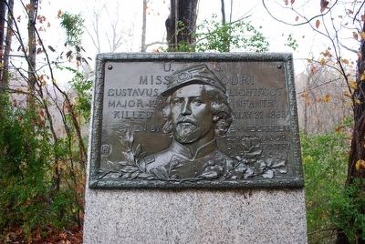
4. Gustavas Lightfoot Marker
This marker sits next to the tunnel.
Credits. This page was last revised on November 14, 2017. It was originally submitted on October 2, 2015, by Brandon Fletcher of Chattanooga, Tennessee. This page has been viewed 558 times since then and 26 times this year. Photos: 1, 2, 3, 4. submitted on October 2, 2015, by Brandon Fletcher of Chattanooga, Tennessee. • Bernard Fisher was the editor who published this page.
