Sharpsburg in Washington County, Maryland — The American Northeast (Mid-Atlantic)
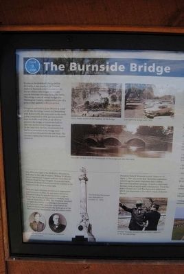
The Burnside Bridge
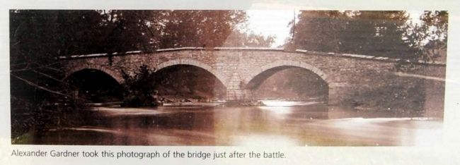
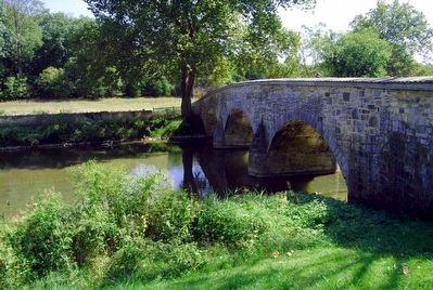
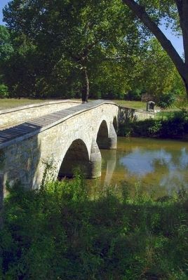
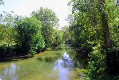
Known as the Rohrbach Bridge before the battle, it was renamed for General Ambrose Burnside who commanded the Union soldiers who fought to take this crucial Antietam crossing during the battle. This bridge is one of several bridges that Washington County constructed as part of a project that spanned a 40 year period.
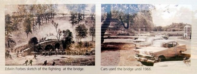
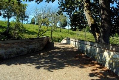
Designed and built by John Weaver at a cost of $2,300, the bridge connected Sharpsburg with Rohrersville, the next town to the south. It was completed in 1836 and was actively used for traffic until 1966. In an effort to preserve the bridge, a bypass was built to take cars across a new bridge upstream. At the same time, the four monuments that had been mounted on the bridge were removed and relocated to the east bank. The wooden coping was restored and the asphalt removed. (Marker Number 9.)
Topics. This historical marker is listed in these topic lists: Bridges & Viaducts • War, US Civil. A significant historical date for this entry is September 17, 1862.
Location. 39° 26.967′ N, 77° 43.967′ W. Marker is in Sharpsburg, Maryland, in Washington County. Marker is on Old Burnside Bridge Road, in the median. Touch for map. Marker is in this post office area: Sharpsburg MD 21782, United States of America. Touch for directions.
Other nearby markers. At least 10 other markers are within walking distance of this marker. William McKinley (within shouting distance of this marker); A Crucial Crossing, a General’s Namesake, a Battlefield Icon (within shouting distance of this marker); Repulsed Again and Again (within shouting distance of this marker); "Point Blank Range" (within shouting distance of this marker); C.S.A. (about 400 feet away, measured in a direct line); As the Georgians Saw It (about 500 feet away); Witness to History (about 600 feet away); We Showered the Lead Across that Creek (about 600 feet away); "Will You Give Us Our Whiskey?" (about 600 feet away); 51st Pennsylvania Volunteer Infantry (about 600 feet away). Touch for a list and map of all markers in Sharpsburg.
Photographed By Brian Scott, 09
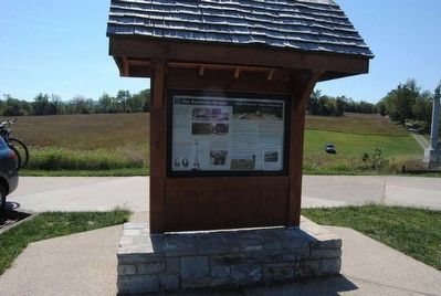
6. The Burnside Bridge Marker
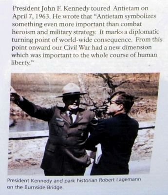
President John F. Kennedy toured Antietam on April 7, 1963. He wrote that "Antietam symbolizes something even more important than combat heroism and military strategy. It marks a diplomatic turning point of world-wide consequences. From this point onward our Civil War had a new dimension which was important to the whole course of human history."
Photographed By Brian Scott, September 19, 2015
7. The Burnside Bridge Marker
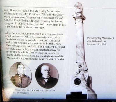
Just to your right is the McKinley Monument, dedicated to the 24th President. William McKinley was a commissary Sergeant with the 23rd Ohio of Colonel Hugh Ewing's Brigade. During the battle, Sergeant McKinley bravely served the soldiers in his regiments in the fields to your right.
After the war, McKinley served as a Congressman and Governor of Ohio. He was twice elected as President before he was shot by Leon Czolgosz at the Pan-American Exposition in Buffalo, New York on September 6, 1901. The President survived for eight days before succumbing to his wound on September 14th. Just over a year before his death McKinley was here for the dedication of the Maryland State Monument, near the visitor center.
After the war, McKinley served as a Congressman and Governor of Ohio. He was twice elected as President before he was shot by Leon Czolgosz at the Pan-American Exposition in Buffalo, New York on September 6, 1901. The President survived for eight days before succumbing to his wound on September 14th. Just over a year before his death McKinley was here for the dedication of the Maryland State Monument, near the visitor center.
Credits. This page was last revised on September 15, 2016. It was originally submitted on October 4, 2015, by Brian Scott of Anderson, South Carolina. This page has been viewed 531 times since then and 17 times this year. Photos: 1, 2, 3, 4, 5, 6, 7, 8, 9, 10, 11. submitted on October 4, 2015, by Brian Scott of Anderson, South Carolina.
