Barney Circle in Southeast Washington in Washington, District of Columbia — The American Northeast (Mid-Atlantic)
Seafarers Yacht Club
1950 M Street, SE
| — | African American Heritage Trail, Washington DC | — |
Photographed by Richard E. Miller, October 7, 2015
1. Seafarers Yacht Club Marker
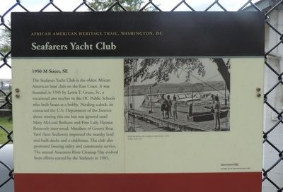
The Seafarers Yacht Club is the oldest African American boat club on the East Coast. It was founded in 1945 by Lewis T. Green, Sr., a vocational arts teacher in the DC Public Schools who built boats as a hobby. Needing a dock, he contacted the U.S. Department of the Interior about renting this site but was ignored until Mary McCleod Bethune and First Lady Eleanor Roosevelt intervened. Members of "Green's" Boat Yard (later, "Seafarers"') improved the marshy land, built docks and a clubhouse. The club also promoted boating safety and community service. The annual Anacostia River Cleanup Day evolved from efforts started by the Seafarers in 1985.
Erected 2003 by Cultural Tourism DC.
Topics and series. This historical marker is listed in these topic lists: African Americans • Fraternal or Sororal Organizations • Waterways & Vessels. In addition, it is included in the African American Heritage Trail, the Eleanor Roosevelt, and the Mary McLeod Bethune series lists. A significant historical year for this entry is 1945.
Location. 38° 52.757′ N, 76° 58.465′ W. Marker is in Southeast Washington in Washington, District
this page online

Regionally, this marker is in the Washington Metropolitan Area. It is also in the American Northeast, in the Upper South, in the Mid-Atlantic, in the Tidewater, and in the Chesapeake Bay Region. Globally, it is in North America, the Western Hemisphere, the Western World, and the Anglosphere.
Other nearby markers. At least 8 other markers are within walking distance of this marker: Fourth Street M.E. Church Memorial (about 500 feet away, measured in a direct line); An Upstream Battle (approx. 0.2 miles away); Anacostia Skating Pavilion (approx. 0.2 miles away); Leonard P. Matlovich
Photographed by Devry Becker Jones (CC0), October 26, 2019
2. Seafarers Yacht Club Marker
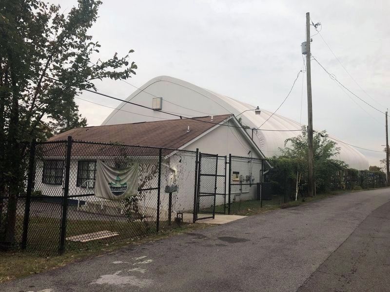
Marker is on the fence in front of the building.
More about this marker.
[Caption:]
Boats moored at the Seafarers Yacht Club, 1970.
Seafarers Yacht Club
Also see . . . Seafarers: Our Place on the River. (Submitted on October 9, 2015, by Richard E. Miller of Oxon Hill, Maryland.)
Photographed by Richard E. Miller, October 7, 2015
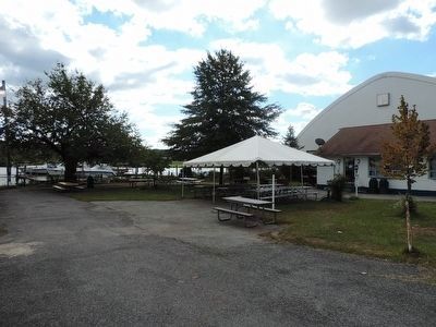
3. The Seafarers' club house and picnic area
Photographed by Richard E. Miller, October 7, 2015
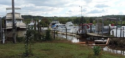
4. The Seafarers Yacht Club marina - off the Anacostia River
Credits. This page was last revised on April 20, 2026. It was originally submitted on October 8, 2015, by Richard E. Miller of Oxon Hill, Maryland. This page has been viewed 801 times since then and 33 times this year. Photos: 1. submitted on October 9, 2015, by Richard E. Miller of Oxon Hill, Maryland. 2. submitted on October 26, 2019, by Devry Becker Jones of Washington, District of Columbia. 3, 4. submitted on October 9, 2015, by Richard E. Miller of Oxon Hill, Maryland. • Bill Pfingsten was the editor who published this page.
