Near Sumner in Tallahatchie County, Mississippi — The American South (East South Central)
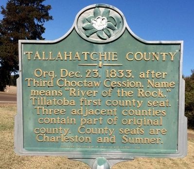
Tallahatchie County
Erected 1985 by Mississippi Department of Archives and History.
Topics and series. This historical marker is listed in these topic lists: Government & Politics • Native Americans • Political Subdivisions. In addition, it is included in the Mississippi State Historical Marker Program series list. A significant historical date for this entry is December 23, 1833.
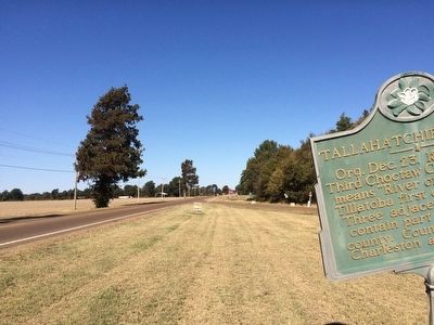
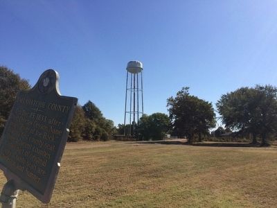
Location. 33° 57.501′ N, 90° 21.914′ W. Marker is near Sumner, Mississippi, in Tallahatchie County. Marker is at the intersection of U.S. 49E and Old Mill Road, on the right when traveling north on U.S. 49E. Touch for map. Marker is in this post office area: Sumner MS 38957, United States of America. Touch for directions.
Other nearby markers. At least 8 other markers are within 9 miles of this marker, measured as the crow flies. Tallahatchie County Confederate Monument (approx. 0.9 miles away); Emmett Till Murder Trial (approx. 0.9 miles away); W.C. Handy Encounters the Blues (approx. 5˝ miles away); Tutwiler Funeral Home (approx. 5˝ miles away); Legendary Home of the Blues (approx. 5˝ miles away); Parchman Farm Blues (approx. 8 miles away); John Lee Hooker (approx. 8.1 miles away); River Site (approx. 8˝ miles away). Touch for a list and map of all markers in Sumner.
Also see . . . Wikipedia article on Tallahatchie County. (Submitted on October 19, 2015, by Mark Hilton of Montgomery, Alabama.)
Credits. This page was last revised on June 16, 2016. It was originally submitted on October 19, 2015, by Mark Hilton of Montgomery, Alabama. This page has been viewed 366 times since then and 26 times this year. Photos: 1, 2, 3. submitted on October 19, 2015, by Mark Hilton of Montgomery, Alabama.


