Near Sinclair in Carbon County, Wyoming — The American West (Mountains)
Cemetery
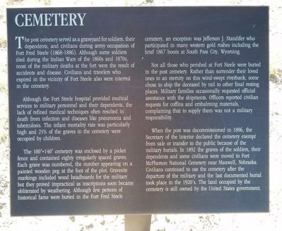
Although the Fort Steele hospital provided medical services to military personnel and there dependents, the lack of refined medical techniques often resulted in death from infection and diseases like pneumonia and tuberculosis. The infant mortality rate was particularly high and 25% of the grave in the cemetery were occupied by children.
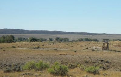
The 100' x 140' cemetery was enclosed by a picket fence and contained eighty irregularly spaced graves. Each grave was number, the number appearing on a painted wooden peg at the foot of the plot. Gravesite markings included wood headboard for the military but they proved impractical as inscriptions soon became obliterated by weathering. Although few persons of historical fame were buried in the Fort Fred Steele cemetery, an exception was Jefferson J. Stander who participated in many western gold rushes including the brief 1867 boom at South Pass, Wyoming.
Not all those who perished at Fort Steele were buried in the post cemetery. Rather than surrender their loved ones to an eternity on this wind-swept riverbank, some chose to ship the deceased by rail to other final resting places. Military families occasionally requested official assistance with the shipment. Officers reported civilian requests for coffins and embalming material, complaining that to supply them was not a military responsibility.
When the post was decommissioned in 1886, the Secretary of the Interior declared the cemetery exempt from sale or transfer to the public because of the military burials. In 1892 the graves of the soldiers, their dependents and some civilians were move to Fort McPherson National Cemetery near Maxwell, Nebraska. Civilians continued to use the cemetery after the departure of the military and the last documented burial took place in the 1920's. The land occupied by the cemetery is still owned by the United States government.
Erected by Wyoming Recreation Commission.
Topics. This historical marker is listed in this topic list: Cemeteries & Burial Sites.
Location. 41° 46.46′ N, 106° 56.822′ W. Marker is near Sinclair, Wyoming, in Carbon County. Marker is on County Route 347 near Interstate 80, on the right when traveling north. Touch for map. Marker is in this post office area: Sinclair WY 82334, United States of America. Touch for directions.
Other nearby markers. At least 8 other markers are within walking distance of this marker. Powder Magazine (here, next to this marker); A Tourist's Railroad (here, next to this marker); Fenimore Chatterton (a few steps from this marker); Sheepherder's Community (about 600 feet away, measured in a direct line); Ranching (about 600 feet away); Sheep Industry (about 700 feet away); Sheep Ranching (about 700 feet away); Fort Fred Steele State Historic Site (about 700 feet away). Touch for a list and map of all markers in Sinclair.
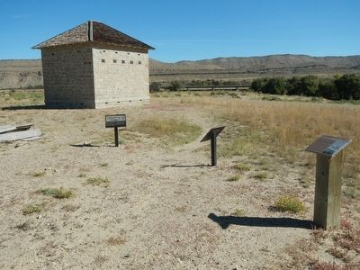
More about this marker. This marker, among a grouping of a four markers, is located at Fort Fred Steele State Historic Site between the Information Kiosk and the Powder Magazine. The markers are on County Road 347, north of the Interstate 80 Exit 228 and south of the railroad tracks.
Credits. This page was last revised on June 16, 2016. It was originally submitted on October 26, 2015, by Barry Swackhamer of Brentwood, California. This page has been viewed 354 times since then and 13 times this year. Photos: 1, 2, 3. submitted on October 26, 2015, by Barry Swackhamer of Brentwood, California.


