Hardeeville in Jasper County, South Carolina — The American South (South Atlantic)
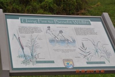
Using Fire to Benefit Wildlife
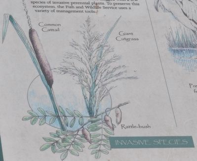
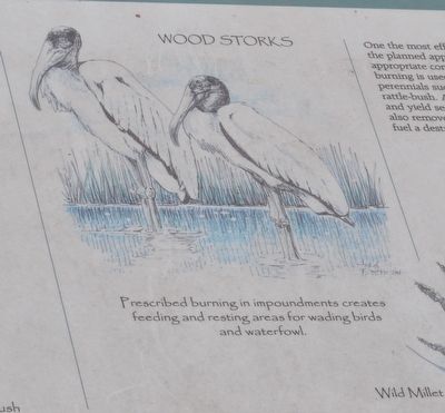
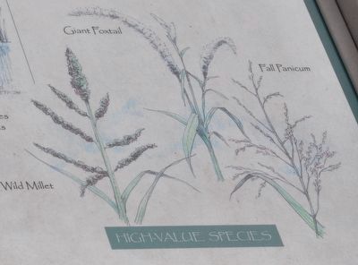
One the most effective tools is prescribed burning – the planned application of controlled fire, under appropriate condition, for specific purposes. Here, burning is used to eliminate invasive and exotic perennial such as cattails, cut-grass species, and rattle-bush. Annual plants soon colonize the bare soil and yield seeds of higher value to wildlife. Burning also removes tons of dry, dead vegetation that could fuel a destructive wildfire.
Erected by U.S. Fish & Wildlife Service, Department of the Interior.
Topics. This historical marker is listed in these topic lists: Animals • Environment.
Location. 32° 10.158′ N, 81° 6.543′ W. Marker is in Hardeeville, South Carolina, in Jasper County. Marker can be reached from Laurel Hill Wildlife Drive near Alligator Alley (South Carolina Highway 170). Marker located in the Savannah National Wildlife Refuge. Touch for map. Marker is in this post office area: Hardeeville SC 29927, United States of America. Touch for directions.
Other nearby markers. At least 8 other markers are within 3 miles of this marker, measured as the crow flies. Managing Water for Wildlife (approx. ¼ mile away); Rice Field Trunk (approx. ¼ mile away); Prescribed Burning (approx. ¼ mile away); Laurel Hill Plantation (approx. 0.4 miles away); Plantation Cistern (approx. one mile away); Savannah River Plantations (approx. 2.8 miles away in Georgia); Atlantic Coastal Highway Through Georgia (approx. 2.9 miles away in Georgia); Savannah Sugar Refinery Explosion (approx. 3 miles away in Georgia). Touch for a list and map of all markers in Hardeeville.
Credits. This page was last revised on June 16, 2016. It was originally submitted on October 30, 2015, by Sandra Hughes Tidwell of Killen, Alabama, USA. This page has been viewed 234 times since then and 8 times this year. Photos: 1, 2, 3, 4. submitted on October 30, 2015, by Sandra Hughes Tidwell of Killen, Alabama, USA. • Bernard Fisher was the editor who published this page.


