Near Green River in Sweetwater County, Wyoming — The American West (Mountains)
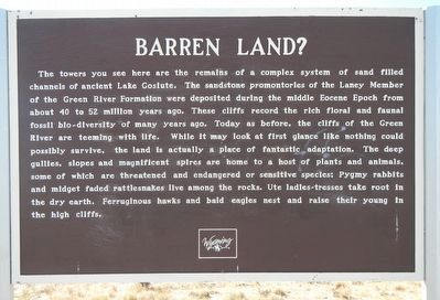
Barren Land?
Photographed by Barry Swackhamer, September 10, 2015
1. Barren Land? Marker
Erected by Wyoming State Parks and Cultural Resources.
Topics. This historical marker is listed in this topic list: Natural Features.
Location. 41° 26.178′ N, 109° 31.898′ W. Marker
this page online

Regionally, this marker is in Wyoming’s Westward Expansion Trails Region. It is also in the American Mountain West. Globally, it is in North America, the Rocky Mountains, the Western Hemisphere, the Western World, and the Anglosphere. Historically, it finds itself in what was once Mexico’s Alta California.
Other nearby markers. At least 8 other markers are within 7 miles of this marker, measured as the crow flies: All Because of an Ancient Lake (a few steps from this marker); The Overland Stage (approx. 6½ miles away); The Overland Stage Station Route (approx. 6½ miles away); Sodium Carbonate Brine (approx. 6.7 miles away); William Manly - 1849 (approx. 6.8 miles away); The Great Unknown (approx. 6.8 miles away); William Ashley - 1825 (approx. 6.8 miles away); John Wesley Powell, 1871 (approx. 6.8 miles away). Touch for a list and map of all markers
Photographed by Barry Swackhamer, September 10, 2015
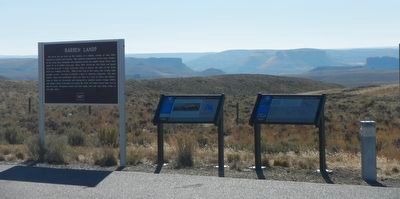
2. Barren Land? Marker
The marker is on the left.
Photographed by Audubon.org
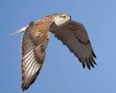
3. Ferruginous hawk
Photographed by U.S. Department of Agriculture
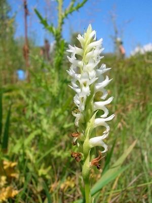
4. Ute Ladies-tresses Spiranthes_diluvialis)
Credits. This page was last revised on June 16, 2016. It was originally submitted on October 30, 2015, by Barry Swackhamer of Brentwood, California. This page has been viewed 571 times since then and 23 times this year. Photos: 1, 2, 3, 4. submitted on October 30, 2015, by Barry Swackhamer of Brentwood, California.
