Cleveland in Bolivar County, Mississippi — The American South (East South Central)
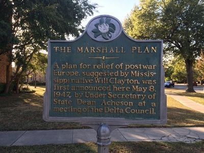
The Marshall Plan
Photographed by Mark Hilton, October 17, 2015
1. The Marshall Plan Marker
Erected 1978 by Mississippi Department of Archives and History.
Topics and series. This historical marker is listed in these topic lists: Notable Events • Peace • War, World II. In addition, it is included in the Mississippi State Historical Marker Program series list. A significant historical date for this entry is May 8, 1947.
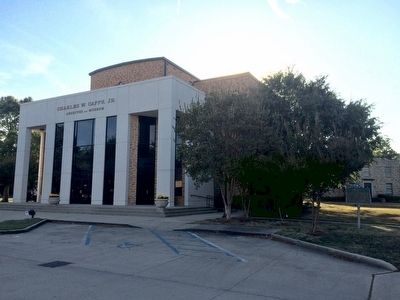
Location. 33° 44.693′ N, 90° 44.034′ W. Marker is in Cleveland, Mississippi, in Bolivar County. It is at the intersection of Coahoma Street and North 5th Avenue, on the right when traveling east on Coahoma Street. Located near the front of Charles W. Capps, Jr. Archives and Museum Building at Delta State University. Touch for map. Marker is at or near this postal address: North 5th Avenue, Cleveland MS 38732, United States of America. Touch for directions.

Regionally, this marker is in the American South, specifically in the Deep South, in the Mississippi Delta, and in the Great River Road
this page online
Other nearby markers. At least 8 other markers are within walking distance of this marker: Hill Demonstration School (about 400 feet away, measured in a direct line); Grammy Museum® Mississippi (approx. 0.3 miles away); Delta Blues Inspires W.C. Handy (approx. half a mile away); Bolivar County Veterans Memorial (approx. 0.6 miles away); Bolivar County Confederate Monument (approx. 0.6 miles away); Margaret Wade (approx. 0.6 miles away); The Enlightenment of W.C. Handy (approx. 0.6 miles away); The Cleveland Depot (approx. 0.7 miles away). Touch for a list and map of all markers in Cleveland.
Also see . . .
1. Marshall Plan Commemorative Section: A Modest Magician: Will Clayton and the Rebuilding of Europe. (Submitted on October 31, 2015, by Mark Hilton of Montgomery, Alabama.)
2. Wikipedia article on William Clayton.
Photographed by Mark Hilton, October 17, 2015
2. Marker to right of Charles W. Capps, Jr. Archives and Museum Building
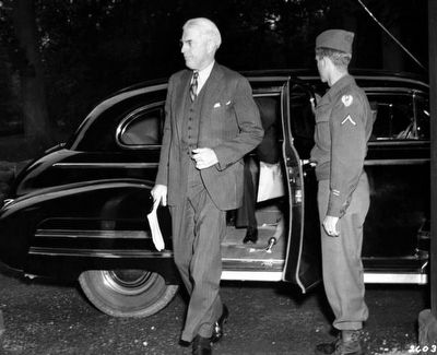
Public Domain, 1945
3. William L. Clayton arrives for Potsdam Conference.
Photographed by Mark Hilton, October 17, 2015
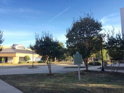
4. View of marker looking south on 5th Avenue.
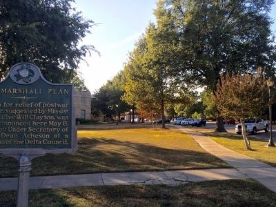
Photographed by Mark Hilton, October 17, 2015
5. The view west on Coahoma Street.
Credits. This page was last revised on June 16, 2016. It was originally submitted on October 31, 2015, by Mark Hilton of Montgomery, Alabama. This page has been viewed 1,005 times since then and 84 times this year. Photos: 1, 2, 3, 4, 5. submitted on October 31, 2015, by Mark Hilton of Montgomery, Alabama.
