Lily Lake, Amana Colonies
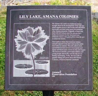
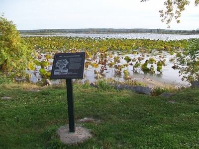
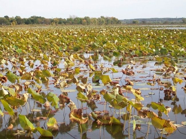
The Amana Lily Lake is an incidental creation brought about by the development of the mill race which supplies power to the woolen mill and which historically provided water power for numerous other Amana industries. Originally, a bog or wet field with rich bottom mud, the area proved a fertile environment for the American lotus (Nelumbo lutea) or the great yellow water lily as it is commonly known.
Oral tradition relates that American Indians camped adjacent to this site to harvest the edible lotus tubers in autumn. The pale-yellow sweet-scented flowers have several rows of petals and sepals and bloom each summer in July and August. The Amana Colonists, particularly children and young people, historically used the lake for ice-skating and boating. Today, the Lily Lake is a popular fishing and picnic site in the Amana Colonies, a National Historic Landmark.
Erected 1981 by Amana Preservation Foundation.
Topics. This historical marker is listed in this topic list: Environment.
Location. 41° 48.195′ N, 91° 53.253′ W. Marker is in Amana, Iowa, in Iowa County. Marker is on 220th Trail (State Highway 220) 0.1 miles west of 38th Avenue, on the left when traveling west. Marker is at a scenic overlook. Touch for map
Other nearby markers. At least 8 other markers are within walking distance of this marker. Site of the 35th World Plowing Matches (approx. half a mile away); Windmill House (approx. ¾ mile away); Amana Colonies (approx. 0.8 miles away); Ronneburg Restaurant (approx. 0.8 miles away); The Wickery (approx. 0.9 miles away); Amana General Store (approx. 0.9 miles away); Wash House and Woodshed (approx. 0.9 miles away); Ackermann Residence (approx. 0.9 miles away). Touch for a list and map of all markers in Amana.
Also see . . . The History of Amana. (Submitted on November 2, 2015, by William Fischer, Jr. of Scranton, Pennsylvania.)
Credits. This page was last revised on November 17, 2020. It was originally submitted on November 2, 2015, by William Fischer, Jr. of Scranton, Pennsylvania. This page has been viewed 430 times since then and 45 times this year. Photos: 1, 2, 3. submitted on November 2, 2015, by William Fischer, Jr. of Scranton, Pennsylvania.


