Fort Bridger in Uinta County, Wyoming — The American West (Mountains)
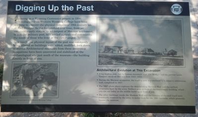
Digging Up the Past
Inscription.
Beginning as a Wyoming Centennial project in 1990, archaeologists from Western Wyoming College have been working to uncover the physical remains of 19th century life at Fort Bridger. As the fort evolved over time, from an emigrant supply station, to an outpost of Mormon settlement, to a major military post, to a settled agricultural community, the needs of those who lived at the fort changed.
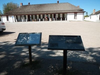
As a result, the physical layout of the post was constantly being altered as buildings were added, modified, torn down, or moved. Architectural remnants from these successive occupations have been uncovered and stabilized at the archaeological site just south of the museum - the building directly in front of you.
Architectural Evolution at This Excavation
• A log trading post, run by famous mountain man Jim Bridger and his partner Louis Vasquez, stood on this site from 1843-1853.
• During the Mormon occupation, the trading post was enclosed by a massive cobblestone wall, completed in 1857.
• The 1867 photo above captures the deteriorating Mormon Wall and the earliest structures built by the army. Soldiers pose in front of the commissary building, which you can see today as the middle building in front of you.
• The other buildings inside the Mormon Wall and the remains of the wall itself were eventually removed by the army to make room for the 1880 barracks, which presently houses the museum.
Topics. This historical marker is listed in these topic lists: Forts and Castles • Science & Medicine.
Location. 41° 19.071′ N, 110° 23.551′ W. Marker is in Fort Bridger, Wyoming, in Uinta County. Marker can be reached from Business Interstate 80 near Main Street, on the left when traveling west. Touch for map. Marker is in this post office area: Fort Bridger WY 82933, United States of America. Touch for directions.
Other nearby markers. At least 8 other markers are within walking distance of this marker. Infantry Barracks (Museum) (here, next to this marker); Post Commissary (within shouting distance of this marker); Old Guardhouse (within shouting distance of this marker); Women at the Trading Post (within shouting distance of this marker); Fort Bridger: A Trading Post (within shouting distance of this marker); The Mormon Wall (within shouting distance of this marker); Mormon Occupation (within shouting distance of this marker); The "New" Guardhouse & Sentry Box (within shouting distance of this marker). Touch for a list and map of all markers in Fort Bridger.
More about this marker. This marker is located on the grounds of Fort Bridger State Park.
Credits. This page was last revised on June 16, 2016. It was originally submitted on November 14, 2015, by Barry Swackhamer of Brentwood, California. This page has been viewed 289 times since then and 11 times this year. Photos: 1, 2. submitted on November 14, 2015, by Barry Swackhamer of Brentwood, California.

