
Moricetown in Kitimat-Stikine, British Columbia — Canada’s West Coast (North America)
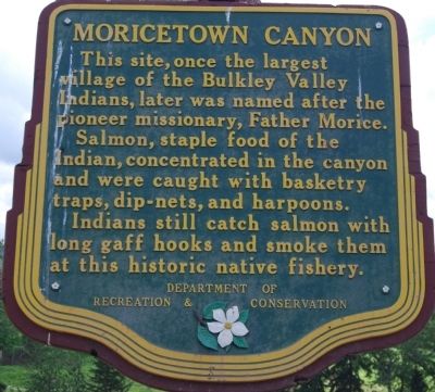
Moricetown Canyon
Photographed by Dawn Bowen, July 6, 2008
1. Moricetown Canyon Marker
Erected by British Colombia Department of Recreation & Conservation.
Topics. This historical marker is listed in these topic lists: Indigenous Peoples and Communities • Natural Resources.
Location. 55° 0.776′ N, 127° 19.862′ W. Marker is in Moricetown, British Columbia, in Kitimat-Stikine. It is on Yellowhead Highway (National Route 16), on the right when traveling west. Touch for map. Marker is in this post office area: Moricetown BC V0J 2N1, Canada. Touch for directions.

Regionally, this marker is in Northern BC. Globally, it is in North America, in the Inside Passage, on the Ring of Fire, in the Pacific Rim, in the Western Hemisphere, in the Western World, and in the Anglosphere. Historically, it finds
this page online
Photographed by Dawn Bowen, July 6, 2008
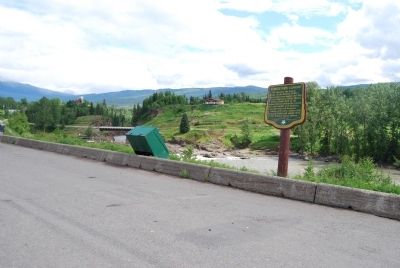
2. Moricetown Canyon Marker
Photographed by Dawn Bowen, July 6, 2008
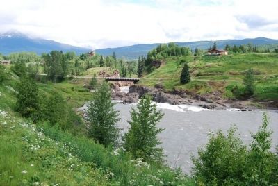
3. Moricetown Canyon
Photographed by Dawn Bowen, July 6, 2008
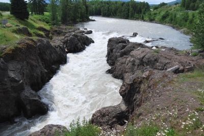
4. Bulkley River in Moricetown Canyon
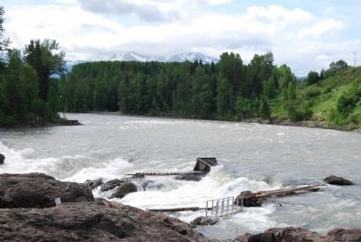
Photographed by Dawn Bowen, July 6, 2008
5. Fishing ladders at Moricetown Canyon
Credits. This page was last revised on June 16, 2016. It was originally submitted on July 11, 2008, by Dawn Bowen of Fredericksburg, Virginia. This page has been viewed 2,548 times since then and 37 times this year. Photos: 1, 2, 3, 4, 5. submitted on July 11, 2008, by Dawn Bowen of Fredericksburg, Virginia. • Christopher Busta-Peck was the editor who published this page.
