Pound in Wise County, Virginia — The American South (Mid-Atlantic)
Pound Gap Engagement
Southwest Virginia Gateway
Photographed by J. J. Prats, October 17, 2015
1. Pound Gap Engagement Marker
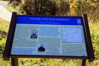
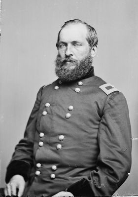
Kentucky Unionists considered Pound Gap second in importance only to Cumberland Gap as a strategic gateway to southwestern Virginia and eastern Tennessee. On the frigid morning of March 16, 1862, Union Gen. James A. Garfield, the future president, arrived here with 700 Ohio and Kentucky infantry and cavalry to kick that gate open. Garfield had learned that Confederate militiamen were mustering here and at Cumberland Gap.
About 500 Confederates occupied Pound Gap and the vicinity. Confederate Maj. John P Thompson held the forward location with 175 men, the rest scattered on detached duty or guarding “the cabins, at the foot of the mountain.” In swirling snow, 100 of Union Maj. William McLaughlin’s cavalrymen approached the gap along the road out of Kentucky, while Col. Jonathan Cranor of the 40th Ohio Infantry advanced along one flank. Garfield led another force personally along the other flank to envelop the defenders and cut off their retreat. The Federals converged and after a sharp, brief firefight, the Confederates withdrew south toward Gladeville (Wise).
The Confederates lost one man killed and several wounded;
this page online
“A loud echoing shout burst from the long line, as with fixed bayonets it swept down through the ravine and up the hill.” —Union participant, March 16, 1862
“It is now certain that the enemy, … under the guidance of the most expert and well informed citizens and scouts, the most of them from Kentucky and a part of them from Virginia, had made a night march, and had marched a strong column on south side of the mountain, so as to attack me in front and rear and cut off my retreat.” —Confederate Maj. John P. Thompson
Erected by Virginia Civil War Trails.
Topics. This historical marker is listed in this topic list: War, US Civil. A significant historical date for this entry is March 16, 1862.
Location. 37° 9.318′ N, 82° 37.422′ W. Marker is in Pound, Virginia,
Photographed by Devry Becker Jones (CC0), July 3, 2026
2. Pound Gap Engagement Marker
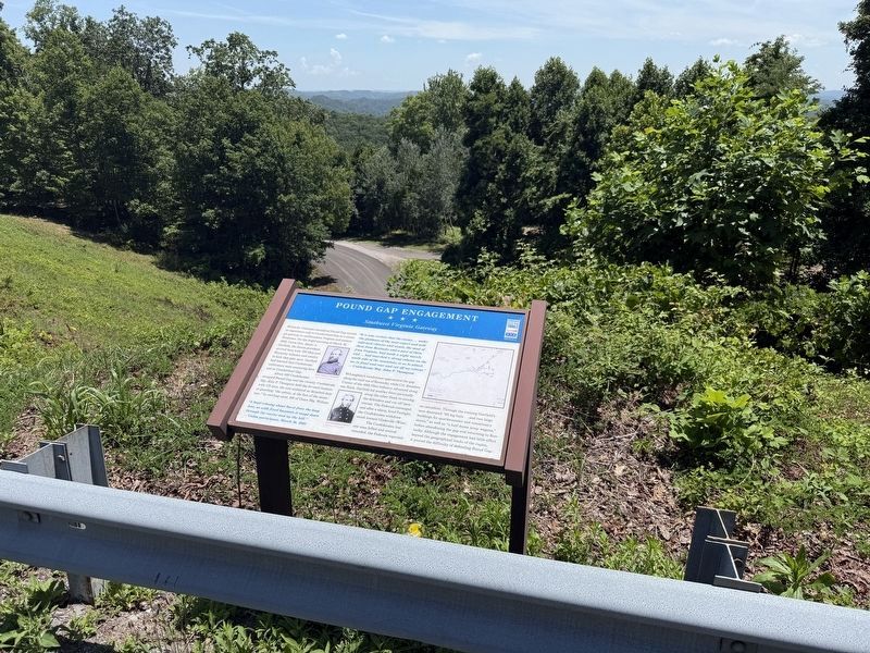
The marker has weathered slightly but remains legigle.

Regionally, this marker is in Southwest Virginia. It is also in the American South, specifically in the Upper South, in Appalachia, and specifically in Southern Appalachia. Globally, it is in North America, the Western Hemisphere, the Western World, and the Anglosphere. Historically, it finds itself in what was once the original Cherokee Nation, the territory of the Mississippian Culture, one of the original Thirteen Colonies, one of the Confederate States of America, and the Antebellum South.
Other nearby markers. At least 8 other markers are within walking distance of this marker: The Crooked Road (within shouting distance of this marker); Daniel Webster Dotson (within shouting distance of this marker); Pound Gap (approx. 0.4 miles away); Leonard Woods Lynched (approx. 0.4 miles away); Wise County / Kentucky
Photographed by J. J. Prats, October 17, 2015
3. Pound Gap Engagement Marker
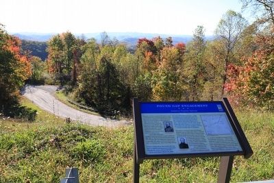
Regarding Pound Gap Engagement. On the left on the marker is a map titled “Pound Gap Engagement, 1862” and to the left two portraits, one of “Gen. James A. Garfield” and the other of “Col. Jonathan Cranor.”
Also see . . . The Battle at Pound Gap - March 16, 1862. 1982 article in Historical Sketches of Southwest Virginia. “Conceiving the rebels about to make a permanent stand, General Garfield drew up his line in front of them, with his right resting on the summit of the mountain, and the left stretched away down the eastern slope. About this time, the rebel line seemed to be melting away, as though they were gradually falling back into the woods. Fearing the results of a loss of time, General Garfield immediately ordered his men forward to scale the hill, and, if necessary, carry it at the point of the bayonet.” (Submitted on November 20, 2015.)
Mathew Brady via Wikipedia Commons, circa 1860
4. Gen. James Garfield, U.S.A. (1831–1881)
Credits. This page was last revised on July 8, 2026. It was originally submitted on November 20, 2015, by J. J. Prats of Powell, Ohio. This page has been viewed 1,580 times since then and 67 times this year. Photos: 1. submitted on November 20, 2015, by J. J. Prats of Powell, Ohio. 2. submitted on July 8, 2026, by Devry Becker Jones of Washington, District of Columbia. 3, 4. submitted on November 20, 2015, by J. J. Prats of Powell, Ohio.
