Ticonderoga in Essex County, New York — The American Northeast (Mid-Atlantic)
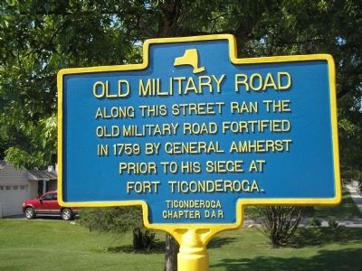
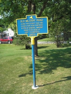
Old Military Road
old military road fortified
in 1759 by General Amherst
prior to the siege at
Fort Ticonderoga.
Erected by Daughters of the American Revolution, Ticonderoga Chapter.
Topics and series. This historical marker is listed in these topic lists: Military • War, French and Indian. In addition, it is included in the Daughters of the American Revolution series list. A significant historical year for this entry is 1759.
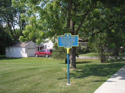
Location. 43° 50.256′ N, 73° 25.382′ W. Marker is in Ticonderoga, New York, in Essex County. Marker is at the intersection of The Portage and Crown Heights, on the right on The Portage. Touch for map. Marker is in this post office area: Ticonderoga NY 12883, United States of America. Touch for directions.
Other nearby markers. At least 8 other markers are within walking distance of this marker. Historic Valley (approx. 0.3 miles away); From this point south… (approx. 0.4 miles away); LaChute River Trail (approx. 0.4 miles away); Mount Defiance (approx. 0.4 miles away); Artillery Park (approx. 0.4 miles away); Military Heroes of Ticonderoga (approx. half a mile away); "C-Dam" (approx. half a mile away); Lord Howe’s Grave (approx. half a mile away). Touch for a list and map of all markers in Ticonderoga.
Also see . . . Siege of Ticonderoga, 6-8 July 1758 . History of War website entry (Submitted on July 12, 2008, by Bill Coughlin of Woodland Park, New Jersey.)

Photographed By Larry Gertner, May 20, 2021
4. The Siege of Fort Ticonderoga
The American Revolution website entry
Click for more information.
Click for more information.
Credits. This page was last revised on May 25, 2021. It was originally submitted on July 12, 2008, by Bill Coughlin of Woodland Park, New Jersey. This page has been viewed 1,646 times since then and 19 times this year. Photos: 1, 2, 3. submitted on July 12, 2008, by Bill Coughlin of Woodland Park, New Jersey. 4. submitted on May 25, 2021, by Larry Gertner of New York, New York.


