Menard in Menard County, Texas — The American South (West South Central)
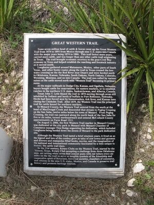
Great Western Trail
Longhorns gathered around Matamoros, Mexico, other parts of South Texas, and other feeder routes along the trail in Texas crossed the low-water crossing on the Red River near Doan's and were herded north to Oklahoma, Kansas, Nebraska, South Dakota, North Dakota, Colorado, Wyoming, Montana, and on into Canada. The trail was called by various names as the cattle moved north with "Western Trail" becoming its primary name.
At the major railheads in Dodge City, Kansas, and Ogallala, Nebraska, buyers bought cattle for reservations, for eastern markets, or to establish ranches in the northern U.S. states, Saskatchewan, and Alberta, Canada.
Texan John T. Lytle blazed the trail in 1874 moving through areas still inhabited by Indians and herds of buffalo to Fort Robinson, Nebraska. Herds had been forced west by homesteaders, tick fever, and Kansas laws closing the Chisholm Trail. After 1879, the Western Trail was the principal trail for cattle bound for norther markets.
In Menard County, the Western Trail entered from the south at the head of MacDougal Creek and descended that stream to Pegleg Crossing on the San Saba, twelve miles below the town of Menard. From Pegleg Crossing, the trail ran eastward along the north bank of the San Saba for five or six miles, turned north eastward and entered McCulloch County approximately on Farm Road 1311.
On August 3, 2006, the first Western Trail marker in Menard County was dedicated at the city park in Menard with Menard Chamber of Commerce manager Tina Hodge organizing the dedication, which included Longhorns being herded down the streets of Menard to the park dedication site.
Although the Western Trail lasted a brief nineteen years, it lived on as the legend and lore of the cowboy grew as tales of cow towns and gunmen and drovers and stampedes filled books, movies, and the imagination of the national and international community fascinated by a time unique to history, the cattle trail days.
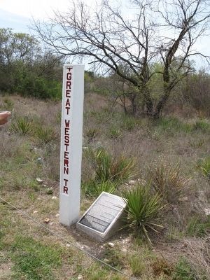
In the 21st century, Rotary Clubs on the Western Trail, started by the Vernon, Texas, Rotary Club accepting a challenge from three Oklahoma men, are setting white seven-foot cement posts with red letters every six miles on the trail to serve as tangible symbols of the friendship
and cooperative spirit of Rotarians, historical societies, chambers of commerce, and citizens in the nine U.S. states, Mexico, and Canada to preserve trail history and promote heritage tourism.
Topics and series. This historical marker is listed in these topic lists: Animals • Roads & Vehicles. In addition, it is included in the Rotary International series list. A significant historical year for this entry is 1874.
Location. 30° 54.112′ N, 99° 47.134′ W. Marker is in Menard, Texas, in Menard County. Marker is at the intersection of U.S. 83 and 8th Street, on the right when traveling south on U.S. 83. Touch for map. Marker is in this post office area: Menard TX 76859, United States of America. Touch for directions.
Other nearby markers. At least 8 other markers are within one mile of this marker, measured as the crow flies. Pioneer Rest Cemetery (approx. 0.6 miles away); Welcome to Menard, Texas / The Old Sacred Heart Catholic Church (approx. one mile away); Sacred Heart Catholic Church (approx. one mile away); Founding of the Santa Cruz de San Saba Mission (approx. one mile away); The Lafora Map / An Apache Encampment (approx. one mile away); "The Ditch" (approx. one mile away); Fort McKavett C.S.A. / Texas Civil War Frontier Defense (approx. one mile away); Menard County Memorial of Those Who Died (approx. one mile away). Touch for a list and map of all markers in Menard.
More about this marker. There is an identical marker and post one mile north at the north side of American Legion Park.
Additional commentary.
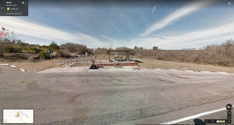
1. Roadside Picnic Area
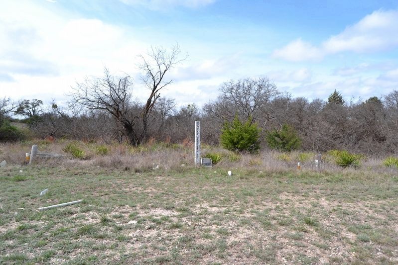
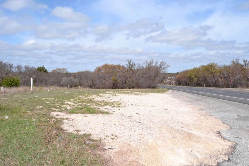
The marker was located at a previous TxDOT roadside picnic area. Some time after 2013 the picnic area was removed, but the Great Western Trail marker and post remain at their original location.
— Submitted April 2, 2018, by Duane Hall of Abilene, Texas.
Credits. This page was last revised on April 2, 2018. It was originally submitted on November 25, 2015, by Richard Denney of Austin, Texas. This page has been viewed 479 times since then and 20 times this year. Photos: 1, 2. submitted on November 25, 2015, by Richard Denney of Austin, Texas. 3, 4, 5. submitted on April 2, 2018, by Duane Hall of Abilene, Texas. • Bernard Fisher was the editor who published this page.
