Fort Myers in Lee County, Florida — The American South (South Atlantic)
Plants and Progress
A Case of Fruit From the Case Grove
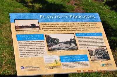
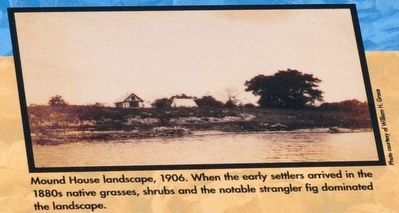
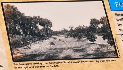
By the early 1900s, settlers were raising tropical fruit crops with some success. The coastal hammock, or hardwood tree grove, west of the mound was converted into orchards and fields. This is where William and Milia Case raised figs, bananas, grapefruits, mangos, papayas, tomatoes, and limes. They likely sold their fruits to local markets.
Fort Myers Cash Crop
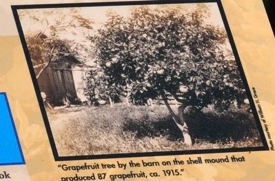
Farming was a predominant industry on the island as well as on the mainland. Many farmers experimented by growing a wide variety of produce including grapes, oranges, avocados, grapefruits, pineapples, sapodillas, coconuts, and peaches. Eventually grapefruit emerged as the leading cash crop in the Fort Myers area. By 1915, statewide citrus production reached 10 million boxes a year.
Walk Through the Garden of History
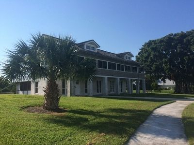
A you walk along the paths of the Mound House site, look for a variety of tropical fruit trees. While the Case family planted similar botanicals, these are newly planted to show the diversity of the crops grown on the setter’s properties over the past 100 years.
Erected by Department of State, Division of Historical Resource.
Topics. This historical marker is listed in these topic lists: Agriculture • Industry & Commerce • Settlements & Settlers. A significant historical year for this entry is 1910.
Location. 26° 26.749′ N, 81° 55.666′ W. Marker is in Fort Myers, Florida, in Lee County. Marker can be reached from Connecticut Street east of Shell Mound Boulevard, on the left when traveling east. Touch for map. Marker is at or near this postal address: 451 Connecticut St, Fort Myers Beach FL 33931, United States of America. Touch for directions.
Other nearby markers. At least 8 other markers are within 6 miles of this marker, measured as the crow flies. People and Plants (here, next to this marker); Nature's Landlord (approx. 5.4 miles away); Sanibel Lighthouse (approx. 5.4 miles away); The Beach is a wild place (approx. 5.4 miles away); Molluscan Reproduction and Egg Case (approx. 5.4 miles away); Sanibel & Everglades Restoration (approx. 5.4 miles away); Sea Turtles on Sanibel (approx. 5.4 miles away); Mollusks and the Environment (approx. 5.4 miles away).
Also see . . . The Mound House. (Submitted on November 30, 2015.)
Credits. This page was last revised on June 16, 2016. It was originally submitted on November 26, 2015, by Sandra Hughes Tidwell of Killen, Alabama, USA. This page has been viewed 259 times since then and 4 times this year. Photos: 1, 2, 3, 4, 5, 6. submitted on November 26, 2015, by Sandra Hughes Tidwell of Killen, Alabama, USA. • Bernard Fisher was the editor who published this page.
