Guntown in Lee County, Mississippi — The American South (East South Central)
Treaty of Pontotoc
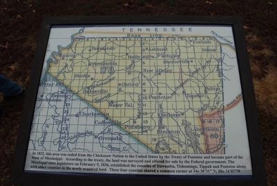
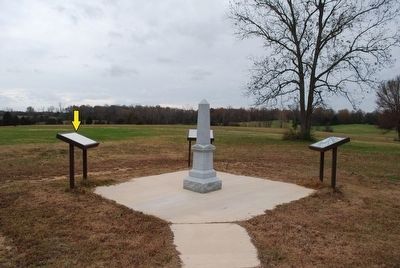
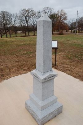
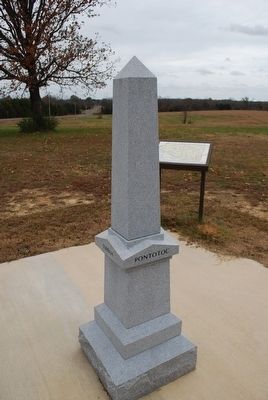
In 1832, this area ceded from the Chickasaw Nation to the United States by the Treaty of Pontotoc and became part of the State of Mississippi. According to the treaty, the land was surveyed and offered for sale by the Federal Government. The Mississippi state legislature on February 9, 1836, established the counties of Itawamba, Tishomingo, Tippah, and Pontotoc along with other counties in the newly acquired land. These four counties shared a common corner at 34°30'31"N, 88°34'07"W
Topics. This historical marker is listed in these topic lists: Native Americans • Settlements & Settlers. A significant historical date for this entry is February 9, 1836.
Location. 34° 30.465′ N, 88° 43.407′ W. Marker is in Guntown, Mississippi, in Lee County. Marker is on Bethany Road (State Highway 370) 0.4 miles east of County Route 833, on the right when traveling east. Touch for map. Marker is in this post office area: Guntown MS 38849, United States of America. Touch for directions.
Other nearby markers. At least 8 other markers are within walking distance of this marker. Tippah, Tishomingo, Pontotoc, Itawamba Intersection (here, next to this marker); Battle of Brice's Cross Roads, MS (here, next to this marker); Brice's Cross Roads (within shouting distance of this marker); Confederate's Second Battle Line (about 400 feet away, measured in a direct line); Federal Cavalry and Artillery Formed First Battle Line Here (about 500 feet away); a different marker also named Brice's Cross Roads (about 600 feet away); a different marker also named Brice's Cross Roads (approx. 0.2 miles away); Federal's Second Battle Line (approx. ¼ mile away). Touch for a list and map of all markers in Guntown.
Credits. This page was last revised on June 16, 2016. It was originally submitted on December 2, 2015, by Brandon Fletcher of Chattanooga, Tennessee. This page has been viewed 406 times since then and 7 times this year. Photos: 1, 2, 3, 4. submitted on December 2, 2015, by Brandon Fletcher of Chattanooga, Tennessee. • Bernard Fisher was the editor who published this page.


