Clendenin in Kanawha County, West Virginia — The American South (Appalachia)
Col. George Clendenin / Town of Clendenin
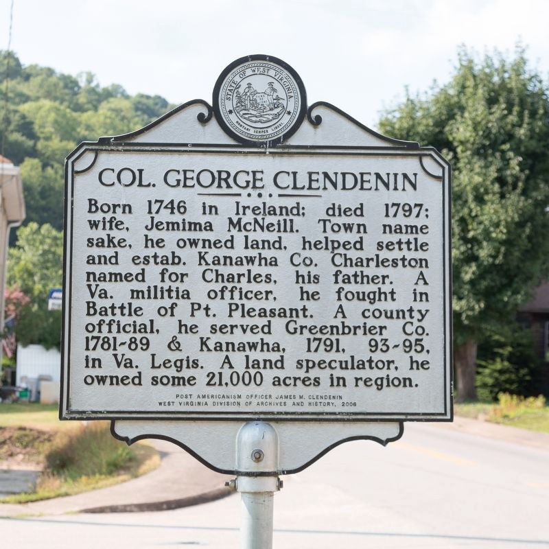
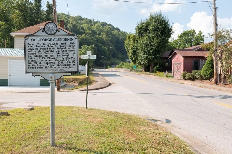
Col. George Clendenin. Born 1746 in Ireland; died 1797; wife, Jemima McNeill. Town name sake, he owned land, helped settle and estab. Kanawha Co. Charleston named for Charles, his father. A Va. Militia officer, he fought in Battle of Pt. Pleasant. A county official, he served Greenbrtier Co. 1781-89 & Kanawha, 1791, 93-95 in Legis Va. A land speculator, he owned some 21,000 acres in region.
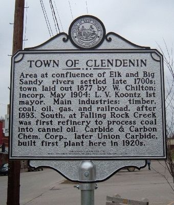
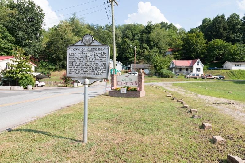
Town of Clendenin. Area at confluence of Elk and Big Sandy rivers settled late 1700s; town laid out 1877 by W. Chilton; Incorp. May 1904; L. V. Koontz first mayor. Main industries: timber, coal, oil, gas, and railroad, after 1893. South, at Falling Rock Creek, was first refinery to process coal into cannel oil. Carbide & Carbon Chem. Corp., later Union Carbide, built first plant here in 1920s
Erected 2006 by American Legion Post 61, Post Americanism Officer James M. Clendenin, and West Virginia Division of Archives and History.
Topics and series. This historical marker is listed in these topic lists: Political Subdivisions • Settlements & Settlers • War, French and Indian. In addition, it is included in the West Virginia Archives and History series list. A significant historical year for this entry is 1877.
Location. 38° 29.234′ N, 81° 21.142′ W. Marker is in Clendenin, West Virginia, in Kanawha County. Marker is at the intersection of French Street and Virginia Avenue, on the right when traveling south on French Street. Touch for map. Marker is in this post office area: Clendenin WV 25045, United States of America. Touch for directions.
Other nearby markers. At least 7 other markers are within 17 miles of this marker, measured as the crow flies. Petrochemical Plant (approx. 0.2 miles away); Captain John Young / John Young Early Settler (approx. 4.3 miles away); Pinch Reunion (approx. 8.8 miles away); Pocatalico River (approx. 10.8 miles away); Simon Kenton (approx. 11.3 miles away); Ruffner Well (approx. 16.9 miles away); Rev. Ruffner's Grave (approx. 17 miles away).
Credits. This page was last revised on August 16, 2021. It was originally submitted on December 3, 2015, by Jonathan Cleghorn of Clendenin, West Virginia. This page has been viewed 616 times since then and 92 times this year. Photos: 1. submitted on December 3, 2015, by Jonathan Cleghorn of Clendenin, West Virginia. 2, 3, 4. submitted on August 16, 2021, by J. J. Prats of Powell, Ohio. • Bill Pfingsten was the editor who published this page.


