Brusly in West Baton Rouge Parish, Louisiana — The American South (West South Central)
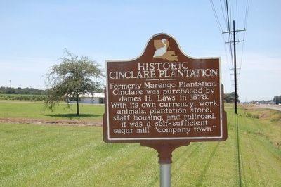
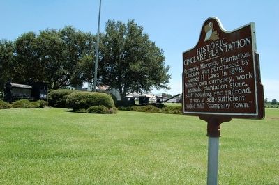
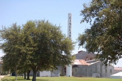
Historic Cinclare Plantation
Topics. This historical marker is listed in these topic lists: Agriculture • Industry & Commerce • Railroads & Streetcars • Settlements & Settlers. A significant historical year for this entry is 1878.
Location. 30° 23.875′ N, 91° 14.164′ W. Marker is in Brusly, Louisiana, in West Baton Rouge Parish. Marker is at the intersection of Vaughn Drive and Terrill Drive, on the right when traveling north on Vaughn Drive. Touch for map. Marker is in this post office area: Port Allen LA 70767, United States of America. Touch for directions.
Other nearby markers. At least 8 other markers are within walking distance of this marker. Original Brusly High School (approx. 0.6 miles away); Union Baptist Church (approx. ¾ mile away); Molaisonville / St. James Square (approx. 0.8 miles away); St. John the Baptist Catholic Cemetery (approx. 0.9 miles away); St. John the Baptist Catholic Church/Eglise Catholique St Jean Baptiste (approx. 0.9 miles away); Antonia Plantation (approx. 0.9 miles away); Brusly, Louisiana (approx. one mile away); Open Sugar Kettles (approx. one mile away). Touch for a list and map of all markers in Brusly.
Related marker. Click here for another marker that is related to this marker.
Credits. This page was last revised on September 3, 2023. It was originally submitted on August 1, 2015. This page has been viewed 555 times since then and 31 times this year. Last updated on December 5, 2015. Photos: 1, 2, 3. submitted on August 1, 2015. • Bernard Fisher was the editor who published this page.


