Bridget Lockman Smith
Women’s Heritage Trail
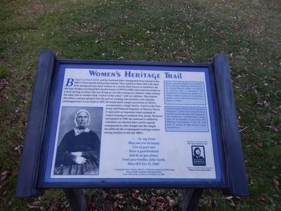
“…To my Sister May you ever be happy Live at your ease Have a good husband And do as you please. From your brother, John Smith, Mine Hill Dec. 31, 1884”-
Autograph
this page online
(Inscription in the boxes on the left)
#1 Bridget Lockman Smith is on the New Jersey Women’s Heritage Trail because as an Iron Miner’s widow she played as essential role in domesticity and integral place raising her children as a single mother, keeping the hearth fires burning after losing her husband in a mining accident.
#2 The New Jersey Women’s Heritage Trail highlights a collection of historic sites located around the state that represent the significant contributions women made to the history of our state. The Heritage Trail brings to life the vital role of women in New Jersey’s past and present.
Erected by Department of Community Affairs New Jersey Historic Trust-Department of Environmental Protection Historic Preservation Office.
Topics and series. This historical marker is listed in these topic lists: Industry & Commerce • Settlements & Settlers • Women. In addition, it is included in the New Jersey Women’s Heritage Trail series list. A significant historical date for this entry is December 25, 1884.
Location. 40° 52.428′ N,
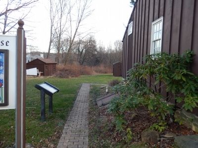

Regionally, this marker is in North Jersey and in the New York City Metropolitan Area. It is also in the American Northeast and in the Mid-Atlantic. Globally, it is in North America, the Western Hemisphere, the Western World, and the Anglosphere. Historically, it finds itself in what was once New Netherland and also one of the original Thirteen Colonies.
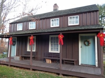
Other nearby markers. At least 8 other markers are within 2 miles of this marker, measured as the crow flies: Bridget Smith House (here, next to this marker); a different marker also named The Bridget Smith House (a few steps from this marker); Dickerson Mine (approx. half a mile away); Site of Ferromonte (approx. ¾ mile away); Saint Mary’s Church (approx. 1.3 miles away); Hurd Park (approx. 1.6 miles away); Morris Canal (approx. 1.8 miles away); Quaker Meeting House (approx. 1.9 miles away). Touch for a list and map
Credits. This page was last revised on June 16, 2016. It was originally submitted on December 12, 2015, by Don Morfe of Baltimore, Maryland. This page has been viewed 968 times since then and 220 times this year. Photos: 1, 2, 3. submitted on December 12, 2015, by Don Morfe of Baltimore, Maryland. • Bill Pfingsten was the editor who published this page.
