Near Bullard in Smith County, Texas — The American South (West South Central)
Camp of the Army of the Republic of Texas
Inscription.
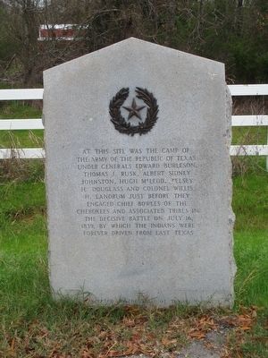
At this site was the camp of the Army of the Republic of Texas under Generals Edward Burleson, Thomas J. Rusk, Albert Sydney Johnston, Hugh McLeod, Kelsey B. Douglas and Col. Willis H. Landrum just before they engaged Chief Bowles of the Cherokees and associated tribes in the decisive battle on July 16, 1839, by which the Indians were forever driven from East Texas.
Erected 1936 by The State of Texas. (Marker Number 7711.)
Topics and series. This historical marker is listed in these topic lists: Native Americans • Wars, US Indian. In addition, it is included in the Texas 1936 Centennial Markers and Monuments series list. A significant historical date for this entry is July 16, 1839.
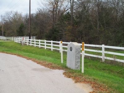
Location. 32° 9.572′ N, 95° 24.316′ W. Marker is near Bullard, Texas, in Smith County. Marker is on Farm to Market Road 346, 0.1 miles south of County Route 1353, on the right when traveling south. This marker is directly across the street from the historic John Dewberry house. Touch for map. Marker is at or near this postal address: 14007 FM 346 West, Bullard TX 75757, United States of America. Touch for directions.
Other nearby markers. At least 8 other markers are within 11 miles of this marker, measured as the crow flies. Dewberry Plantation House (within shouting distance of this marker); Bullard Water Well (approx. 5.1 miles away); Smith Cemetery (approx. 7.9 miles away); Cuney (approx. 8.9 miles away); Frankston City Park (approx. 9.6 miles away); Frankston Railroad Depot (approx. 9.6 miles away); The Major John Dean House (approx. 10.4 miles away); Site of the Kickapoo Battlefield (approx. 10.6 miles away). Touch for a list and map of all markers in Bullard.
Related markers. Click here for a list of markers that are related to this marker.
Also see . . .
1. Battle of the Neches. Wikipedia entry:
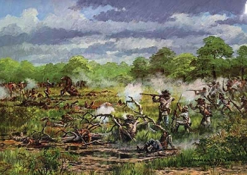
The main engagement of the Cherokee War of 1838–1839, a part of the Texas-Indian Wars. (Submitted on April 3, 2021, by Larry Gertner of New York, New York.)
2. The Battle of the Neches. Texas Escapes entry: (Submitted on April 3, 2021, by Larry Gertner of New York, New York.)
Credits. This page was last revised on April 3, 2021. It was originally submitted on December 12, 2015, by Randal B. Gilbert of Tyler, Texas. This page has been viewed 1,349 times since then and 295 times this year. Last updated on December 15, 2015, by Randal B. Gilbert of Tyler, Texas. Photos: 1, 2. submitted on December 12, 2015, by Randal B. Gilbert of Tyler, Texas. 3. submitted on April 3, 2021, by Larry Gertner of New York, New York. • Bernard Fisher was the editor who published this page.


