Near Edom in Van Zandt County, Texas — The American South (West South Central)
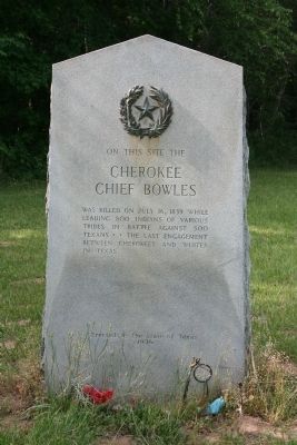
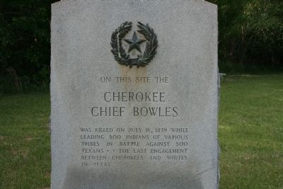
Cherokee Chief Bowles
Cherokee Chief
Bowles
Erected 1936 by State of Texas. (Marker Number 11383.)
Topics and series. This historical marker is listed in this topic list: Native Americans. In addition, it is included in the Texas 1936 Centennial Markers and Monuments series list. A significant historical month for this entry is July 1886.
Location. 32° 24.489′ N, 95° 30.596′ W. Marker is near Edom, Texas, in Van Zandt County. Marker can be reached from Jett Lane. Touch for map. Marker is in this post office area: Ben Wheeler TX 75754, United States of America. Touch for directions.
Other nearby markers. At least 8 other markers are within 8 miles of this marker, measured as the crow flies. New Harmony Baptist Church (approx. 2.6 miles away); County Line Missionary Baptist Church (approx. 2.7 miles away); Wood-Verner Cemetery (approx. 5.2 miles away); Site of C.W. Morris Cotton Gin (approx. 6.2 miles away); John Crane (approx. 7.2 miles away); Cherokee Exodus from Texas (approx. 7.2 miles away); Yarborough House (approx. 7.2 miles away); Hubbard Family Cemetery (approx. 7.3 miles away). Touch for a list and map of all markers in Edom.
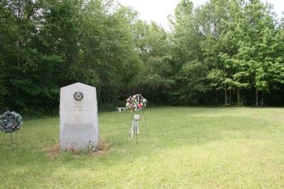
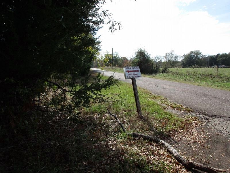
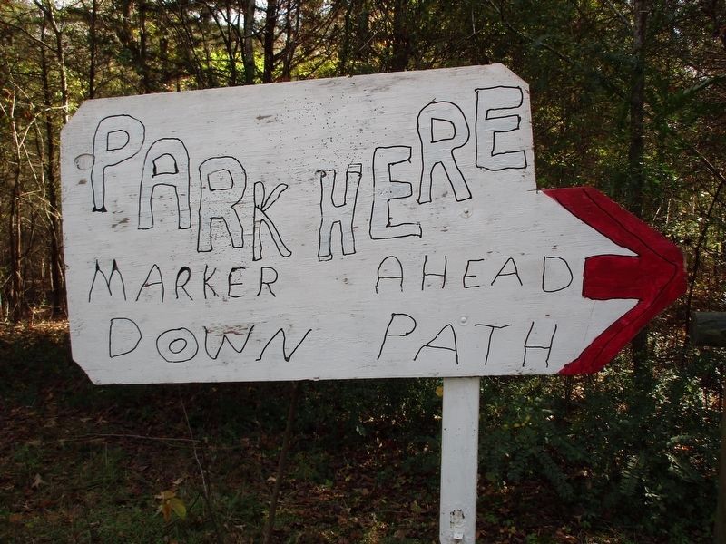
More about this marker. The marker is located in a clearing off Jett Lane. It is not accessible by car. To get to the marker's location, exit State Highway 64 north on County Road 4923. Follow signs about 2.5 miles to marker. Look for spray-painted and printed signs. There doesn't appear to be many official signs that pointed to the marker's location.
Related markers. Click here for a list of markers that are related to this marker. Other markers in Chandler, Texas mentioning Chief Bowles.
Also see . . . Tragedy of Chief Bowles. An article by Bob Bowman, with links to additional information. (Submitted on June 8, 2010.)
Credits. This page was last revised on November 27, 2023. It was originally submitted on June 5, 2010, by Amanda Hartley of Tyler, Texas. This page has been viewed 4,427 times since then and 105 times this year. Last updated on December 15, 2015, by Randal B. Gilbert of Tyler, Texas. Photos: 1. submitted on June 6, 2010, by Amanda Hartley of Tyler, Texas. 2. submitted on June 5, 2010, by Amanda Hartley of Tyler, Texas. 3. submitted on June 6, 2010, by Amanda Hartley of Tyler, Texas. 4, 5. submitted on November 27, 2023, by Jeff Leichsenring of Garland, Texas. • Bernard Fisher was the editor who published this page.
