Church Hill in Hawkins County, Tennessee — The American South (East South Central)
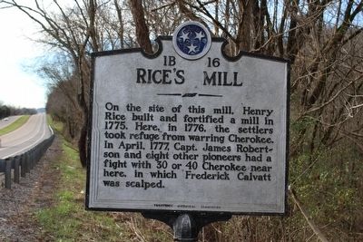
Rice's Mill
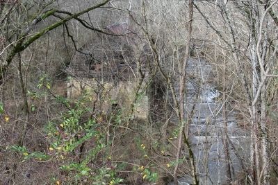
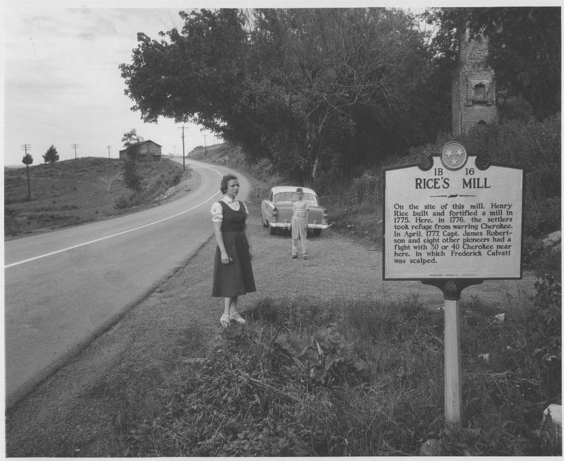
On the site of this mill, Henry Rice built and fortified a mill in 1775. Here, in 1776, the settlers took refuge from warring Cherokee. In April, 1777, Capt. James Robertson and eight other pioneers had a fight with 30 or 40 Cherokee near here, in which Frederick Calvatt was scalped.
Erected by Tennessee Historical Commission. (Marker Number 1B 16.)
Topics and series. This historical marker is listed in these topic lists: Colonial Era • Patriots & Patriotism • War, US Revolutionary. In addition, it is included in the Tennessee Historical Commission series list. A significant historical year for this entry is 1775.
Location. 36° 31.185′ N, 82° 44.679′ W. Marker is in Church Hill, Tennessee, in Hawkins County. Marker is at the intersection of Lee Highway (U.S. 11W) and West Main Blvd, on the left when traveling east on Lee Highway. Touch for map. Marker is in this post office area: Church Hill TN 37642, United States of America. Touch for directions.
Other nearby markers. At least 8 other markers are within 8 miles of this marker, measured as the crow flies. Carter's Store (approx. 0.8 miles away); Patterson's Mill (approx. 1.6 miles away); First Settlers (approx. 4.6 miles away); New Providence Church (approx. 4.6 miles away); Maxwell Academy (approx. 4.6 miles away); Gov. McMinn’s Home (approx. 5.6 miles away); Fighting in Hawkins County (approx. 6.9 miles away); The Great Indian Warpath (approx. 7.3 miles away). Touch for a list and map of all markers in Church Hill.
Credits. This page was last revised on October 7, 2020. It was originally submitted on December 30, 2015, by Tom Bosse of Jefferson City, Tennessee. This page has been viewed 1,061 times since then and 119 times this year. Photos: 1, 2. submitted on December 30, 2015, by Tom Bosse of Jefferson City, Tennessee. 3. submitted on October 6, 2020, by Duane and Tracy Marsteller of Murfreesboro, Tennessee. • Bill Pfingsten was the editor who published this page.


