Zachary in East Baton Rouge Parish, Louisiana — The American South (West South Central)
Port Hudson Siege
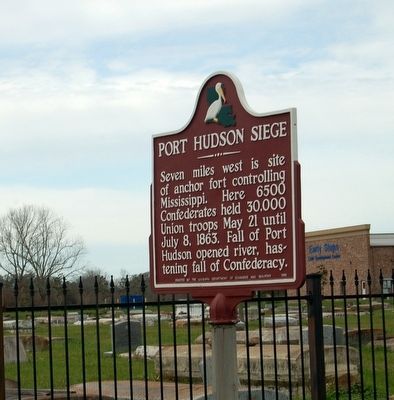
January 2, 2016
1. Port Hudson Siege Marker
Erected 1956 by The Louisiana Department of Commerce and Industry.
Topics. This historical marker is listed in these topic lists: Forts and Castles • Military • War, US Civil. A significant historical date for this entry is July 8, 1863.
Location. 30° 39.296′ N, 91° 11.607′ W. Marker is in Zachary, Louisiana, in East Baton Rouge Parish. It is at the intersection of Old Scenic Highway (State Highway 964) and Church Street (State Highway 64), on the right when traveling south on Old Scenic Highway. Touch for map. Marker is in this post office area: Zachary LA 70791, United States of America. Touch for directions.

Regionally, this marker is in the Florida Parishes and in Greater Baton Rouge. It is also in the American South, specifically in the Deep South, and in the Great River Road Region. Globally, it is in North America, a Gulf of Mexico state, the Western Hemisphere, the Western World, and the Anglosphere.
this page online
Other nearby markers. At least 8 other markers are within 5 miles of this marker, measured as the crow flies: The First West Florida Convention, 1810 (approx. ¼ mile away); William Bartram Trail (approx. 2.6 miles away); Battle of the Plains Store (approx. 2.6 miles away); Town of Zachary (approx. 2.6 miles away); Town Of Baker (approx. 4.6 miles away); Purple Heart Memorial (approx. 4.7 miles away); Heroes Of The War On Terrorism (approx. 4.8 miles away); Port Hudson National Cemetery (approx. 4.9 miles away). Touch for a list and map of all markers in Zachary.
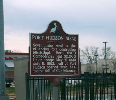
January 1, 2016
2. Port Hudson Siege Marker
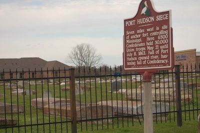
January 1, 2016
3. Port Hudson Siege Marker
Credits. This page was last revised on June 16, 2016. It was originally submitted on January 2, 2016. This page has been viewed 833 times since then and 27 times this year. Photos: 1, 2, 3. submitted on January 2, 2016. • Bernard Fisher was the editor who published this page.
