Jefferson in Jefferson Parish, Louisiana — The American South (West South Central)
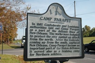
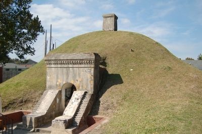
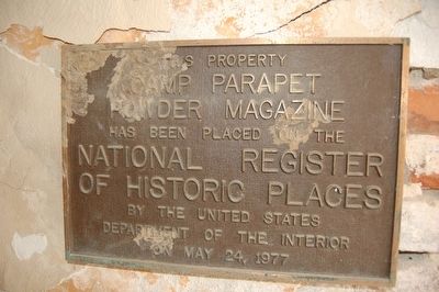
Camp Parapet
Topics. This historical marker is listed in these topic lists: Forts and Castles • War, US Civil. A significant historical year for this entry is 1862.
Location. 29° 57.565′ N, 90° 9.418′ W. Marker is in Jefferson, Louisiana, in Jefferson Parish. Marker is at the intersection of River Road (Route 611-1) and Causeway Boulevard, on the right when traveling south on River Road. Touch for map. Marker is in this post office area: New Orleans LA 70121, United States of America. Touch for directions.
Other nearby markers. At least 8 other markers are within one mile of this marker, measured as the crow flies. A different marker also named Camp Parapet (about 700 feet away, measured in a direct line); a different marker also named Camp Parapet (approx. ¼ mile away); Marsalis Mansion Motel (approx. 0.3 miles away); Jefferson Highway (approx. half a mile away); Magnolia Lane (approx. 0.6 miles away); Dubreuil Concession and Levee (approx. 0.7 miles away); Whitehall Plantation Home (approx. 0.9 miles away); Labarre Road (approx. 1.1 miles away). Touch for a list and map of all markers in Jefferson.
Also see . . . Camp Parapet. Wikipedia (Submitted on January 4, 2016.)
Credits. This page was last revised on February 2, 2017. It was originally submitted on January 3, 2016. This page has been viewed 581 times since then and 26 times this year. Photos: 1, 2, 3, 4. submitted on January 3, 2016. • Bernard Fisher was the editor who published this page.


