
Near Wheatland in Platte County, Wyoming — The American West (Mountains)
Jacques La Ramie
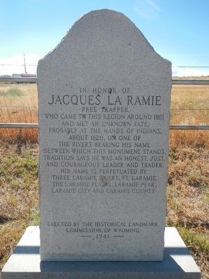
Photographed By Barry Swackhamer, September 19, 2015
1. Jacques La Ramie Marker
Jacques La Ramie
Free trapper,
who came to this region around 1815
and met an unknown fate,
probably at the hands of Indians,
about 1820, on one of
the rivers bearing his name
between which this monument stands.
Tradition says he was an honest, just,
and courageous leader and trader.
His name is perpetuated by
three Laramie Rivers, Fort Laramie,
the Laramie Plains, Laramie Peak,
Laramie City, and Laramie County.
Erected 1941 by Historical Landmark Commission of Wyoming.
Topics. This historical marker is listed in these topic lists: Industry & Commerce • Settlements & Settlers • Waterways & Vessels.
Location. 42° 7.788′ N, 104° 56.178′ W. Marker is near Wheatland, Wyoming, in Platte County. Marker is at the intersection of North Wheatland Highway (State Highway 320 at milepost 4.5) and East Laramie River Road on North Wheatland Highway. Touch for map. Marker is at or near this postal address: 470 North Wheatland Highway, Wheatland WY 82201, United States of America. Touch for directions.
Other nearby markers. At least 8 other markers are within 13 miles of this marker, measured as the crow flies. Open Spaces Sustained by Agriculture (approx. 8.4 miles away); Wildlife Diversity
this page online
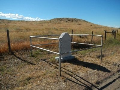
Photographed By Barry Swackhamer, September 19, 2015
2. Jacques La Ramie Marker
Credits. This page was last revised on December 28, 2019. It was originally submitted on January 9, 2016, by Barry Swackhamer of Brentwood, California. This page has been viewed 597 times since then and 63 times this year. Photos: 1, 2. submitted on January 9, 2016, by Barry Swackhamer of Brentwood, California.

