Near Buford in Albany County, Wyoming — The American West (Mountains)
The Gangplank
Photographed by Barry Swackhamer, September 19, 2015
1. The Gangplank Marker
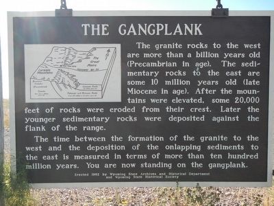
The time between the formation of the granite to the west and the deposition of the onlapping sediments to the east is measured in terms of more than ten hundred million years. You are now standing on the gangplank.
Erected by Wyoming State Parks & Cultural Resources.
Topics. This historical marker is listed in this topic list: Natural Features.
Location. 41° 5.928′ N, 105° 6.755′ W. Marker is near Buford, Wyoming, in Albany County. It is on Interstate 80 Service Road (Local Route 80) near Warren Road, on the right when traveling west. Touch for map. Marker is in this post office area: Buford WY 82052, United States of America. Touch for directions.

Regionally, this marker is in Wyoming’s Laramie Basin. It is also
this page online
Other nearby markers. At least one other marker is within 11 miles of this marker, measured as the crow flies: Geology, more than rocks (approx. 10.2 miles away in Colorado).
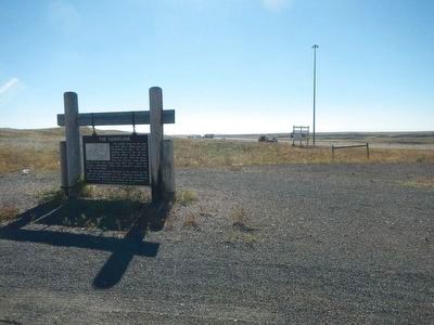
More about this marker. This marker in the truck parking area located on the north side of Interstate 80 at the Warren Road exit (Exit 345).
Photographed by Barry Swackhamer, September 19, 2015
2. The Gangplank Marker
Credits. This page was last revised on July 26, 2025. It was originally submitted on January 10, 2016, by Barry Swackhamer of Brentwood, California. This page has been viewed 2,071 times since then and 178 times this year. Photos: 1, 2. submitted on January 10, 2016, by Barry Swackhamer of Brentwood, California.
