Orwell in Addison County, Vermont — The American Northeast (New England)
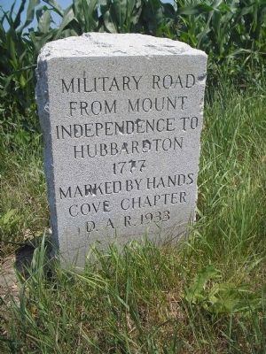
Military Road
from Mount
Independence to
Hubbardton
1777
Marked by Hands
Cove Chapter
D.A.R. 1933
Erected 1933 by Daughters of the American Revolution, Hands Cove Chapter.
Topics and series. This historical marker is listed in these topic lists: Military • Notable Places • Roads & Vehicles • War, US Revolutionary. In addition, it is included in the Daughters of the American Revolution series list. A significant historical year for this entry is 1777.
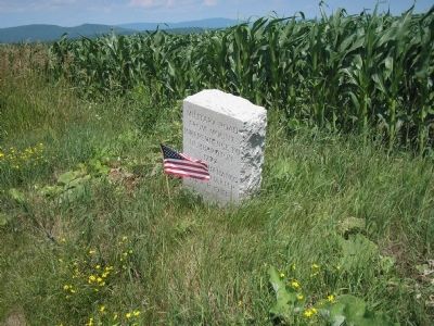
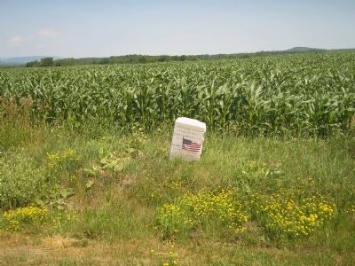
Location. 43° 47.706′ N, 73° 20.939′ W. Marker is in Orwell, Vermont, in Addison County. Marker is on Mt. Independence Road, on the right when traveling west. Touch for map. Marker is in this post office area: Orwell VT 05760, United States of America. Touch for directions.
Other nearby markers. At least 8 other markers are within 3 miles of this marker, measured as the crow flies. Mt. Independence Military Road (approx. 2.3 miles away); Southern Defense Trail (approx. 2.4 miles away); Southern Battery – 1777 (approx. 2.4 miles away); The American Southern Defenses – 1776-1777 (approx. 2˝ miles away); Foundation -1776 or 1777 (approx. 2˝ miles away); German Hut – 1777 (approx. 2˝ miles away); British Blockhouse - 1777 (approx. 2˝ miles away); American Blockhouse – 1777 (approx. 2˝ miles away). Touch for a list and map of all markers in Orwell.
Credits. This page was last revised on November 3, 2020. It was originally submitted on July 16, 2008, by Bill Coughlin of Woodland Park, New Jersey. This page has been viewed 1,522 times since then and 11 times this year. Photos: 1, 2, 3. submitted on July 16, 2008, by Bill Coughlin of Woodland Park, New Jersey.


