Stone Harbor in Cape May County, New Jersey — The American Northeast (Mid-Atlantic)
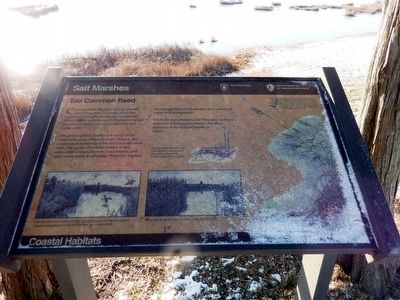
Salt Marshes
Common reed, also known by its scientific name Phragmites, is a native plant that aggressively invades productive marshlands. Other grasses, such as smooth cordgrass and salt hay, cannot survive among its tall stalks and dense roots.
Phragmites replaces healthy salt marsh plants when man-made channels, roads, bridges, and construction restrict the tides and lower the water table. The quality of wildlife habitat is also reduced by limited diversity, food sources, and open water space. Eradicating Phragmites requires several applications of herbicides and burning, or water level management.
While the over-abundance of the Phragmites is often a reflection of human disturbance, it is also a reminder of the delicate balance in nature.
Erected by State of New Jersey; National Park Service, U.S. Department of the Interior.
Topics. This historical marker is listed in this topic list: Environment.
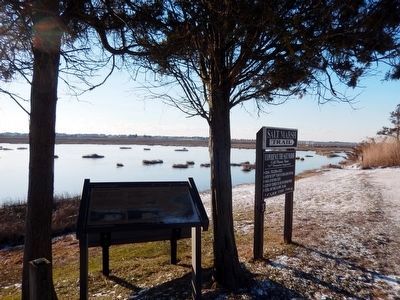
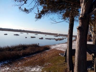
Location. 39° 3.625′ N, 74° 46.41′ W. Marker is in Stone Harbor, New Jersey, in Cape May County. Marker is on Stone Harbor Blvd.. The marker is on the grounds of The Wetlands Institute. Touch for map. Marker is at or near this postal address: 1075 Stone Harbor Blvd, Stone Harbor NJ 08247, United States of America. Touch for directions.
Other nearby markers. At least 8 other markers are within 4 miles of this marker, measured as the crow flies. Pumping Station (approx. 0.9 miles away); U.S. Life Saving Station No.35 (Tatham Life Saving Station) (approx. 1˝ miles away); County Seat (approx. 3.1 miles away); Historic Cape May County Court House (approx. 3.1 miles away); Cape May Revolutionary Patriot Memorial (approx. 3.1 miles away); 1883 Original Terminus Anglesea Railroad (approx. 3.1 miles away); Ankole-Watusi (approx. 3˝ miles away); Ring-Tailed Lemur Conservation (approx. 3˝ miles away). Touch for a list and map of all markers in Stone Harbor.
Credits. This page was last revised on January 25, 2022. It was originally submitted on January 27, 2016, by Don Morfe of Baltimore, Maryland. This page has been viewed 423 times since then and 9 times this year. Photos: 1, 2, 3, 4. submitted on January 27, 2016, by Don Morfe of Baltimore, Maryland. • Bill Pfingsten was the editor who published this page.


