Pineland Industries
Double Trouble Village
| — | Historic Settlements | — |
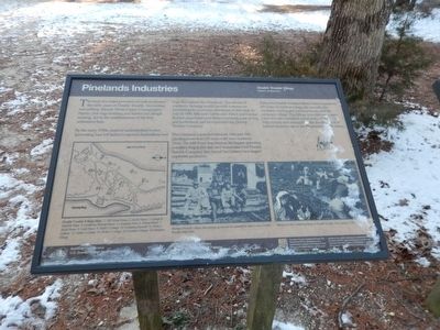
By the early 1900, years of uncontrolled timber harvesting had left behind exposed depressions and bogs throughout the Pinelands. The advent of cranberry farming would provide a means for reclaiming the economic usefulness of this land. In July of 1909, Edward Crabbe and Albert and George Bunker assembled over fifteen hundred acres of bog and timberland and incorporated the Double Trouble Company.
The Company expanded between 1910 and 1926, planting more than 225 acres with new cranberry vines. The Mill Pond Bog became the largest operating cranberry bog in the state and transformed the Double Trouble Company into one of New Jersey’s ten largest cranberry producers.
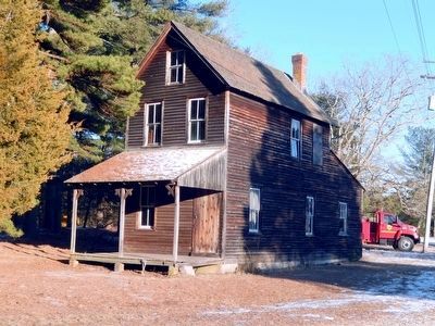
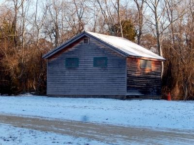
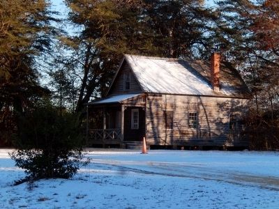
Today, the Double Trouble Historic District preserves 205 acres of cranberry bogs, the sawmill, the cranberry sorting and packing house, and the company village. The village provides a compact view of
this page online
(Inscriptions under the images at the bottom, left to right)
Double Trouble Village Map; 1. Old School House, 2. Burke House, 3. Garage and Machine Shop, 4. Cranberry Packing House, 5. Company Store, 6. Shower Room, 7. Bunk House, 8. Cook House, 9. Picker’s Cottage, 10. Company Sawmill, 11. Picker’s Cottage, 12. Picker’s Cottage, 13. Picker’s Cottage, 14. Foreman’s House, 15. Pornclear House.
Workers from the village that sprang up around the sawmill in what is now Double Trouble State Park
Workers in the Cranberry Bogs at Double Trouble, New Jersey c. 1924.
Erected by National Park Service and NJ Division of Parks and Forestry.
Topics. This historical marker is listed in these topic lists: Agriculture • Horticulture & Forestry • Industry & Commerce. A significant historical month for this entry is July 1909.
Location. 39° 53.824′ N, 74° 13.354′ W. Marker is in Bayville, New Jersey, in Ocean County. It is on Double Trouble Road. Touch for map. Marker is in this post office area: Bayville

Regionally, this marker is in the Pine Barrens and in the New York City Metropolitan Area. It is also in the American Northeast, in the Mid-Atlantic, and on the Eastern Seaboard. Globally, it is in the North Atlantic Region, North America, the Western Hemisphere, the Western World, and the Anglosphere. Historically, it finds itself in what was once New Netherland and also one of the original Thirteen Colonies.
Other nearby markers. At least 8 other markers are within 4 miles of this marker, measured as the crow flies: Welcome to Double Trouble State Park (within shouting distance of this marker); Exploring The Pinelands (within shouting distance of this marker); Step into the Past (within shouting distance of this marker); Captain Joshua Huddy (approx. 3.9 miles away); Anchor from the Aircraft Carrier USS Randolph CV-15 (approx. 3.9 miles away); Huddy’s Hanging Stalls Peace Talks (approx. 3.9 miles away); The British Attack Toms River (approx. 3.9 miles away); a different marker also named Captain Joshua Huddy (approx. 4 miles away). Touch for a list and map of
Credits. This page was last revised on June 16, 2016. It was originally submitted on February 2, 2016, by Don Morfe of Baltimore, Maryland. This page has been viewed 521 times since then and 21 times this year. Photos: 1, 2, 3, 4. submitted on February 2, 2016, by Don Morfe of Baltimore, Maryland. • Bill Pfingsten was the editor who published this page.
