Near Scooba in Kemper County, Mississippi — The American South (East South Central)
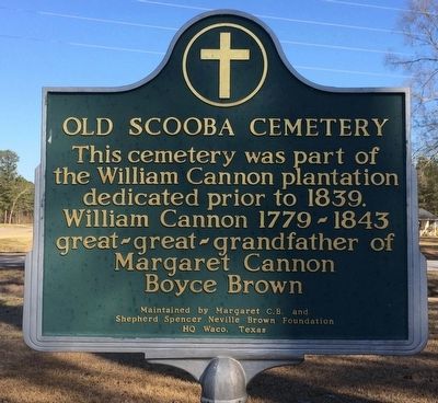
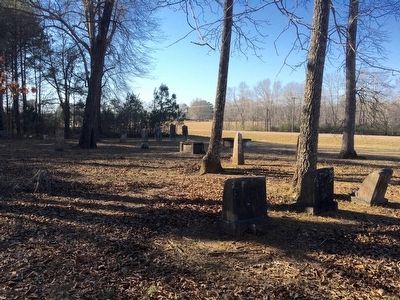
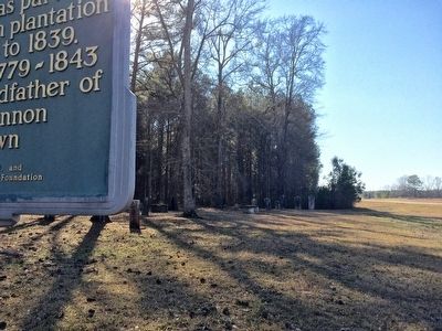
Old Scooba Cemetery
Erected 2000 by Margaret C.B. and Shepherd Spencer Neville Brown Foundation HQ Waco, Texas.
Topics. This historical marker is listed in this topic list: Cemeteries & Burial Sites. A significant historical year for this entry is 1839.
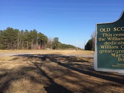
Location. 32° 49.698′ N, 88° 26.03′ W. Marker is near Scooba, Mississippi, in Kemper County. Marker is at the intersection of State Highway 16 and Thompson Road, on the right when traveling east on State Highway 16. Touch for map. Marker is in this post office area: Scooba MS 39358, United States of America. Touch for directions.
Other nearby markers. At least 4 other markers are within 11 miles of this marker, measured as the crow flies. Giles-Neville Cemetery (approx. 3.2 miles away); Electric Mills (approx. 4.4 miles away); Town of Emelle, Alabama (approx. 9.8 miles away in Alabama); Chapel Hill Church and Spring (approx. 10.9 miles away).
Also see . . . Kemper County Mississippi GenWeb info on cemetery. (Submitted on February 20, 2016, by Mark Hilton of Montgomery, Alabama.)
Credits. This page was last revised on March 27, 2018. It was originally submitted on February 20, 2016, by Mark Hilton of Montgomery, Alabama. This page has been viewed 640 times since then and 32 times this year. Photos: 1, 2, 3, 4. submitted on February 20, 2016, by Mark Hilton of Montgomery, Alabama.


