Macon in Noxubee County, Mississippi — The American South (East South Central)
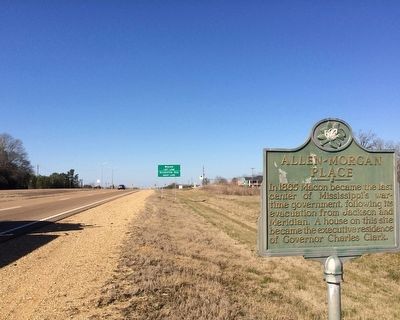
Allen-Morgan Place
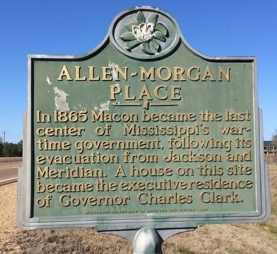
Photographed by Mark Hilton, February 19, 2016
1. Allen-Morgan Place Marker
Erected 1980 by Mississippi Department of Archives and History.
Topics and series. This historical marker is listed in these topic lists: Government & Politics • Notable Places • War, US Civil. In addition, it is included in the Mississippi State Historical Marker Program series list. A significant historical year for this entry is 1865.
Location. 33° 6.112′ N, 88° 32.813′ W. Marker is in Macon, Mississippi, in Noxubee County. It is on U.S. 45 0.7 miles north of Hall Road, on the right when traveling north. Touch for map. Marker is in this post office area: Macon MS 39341, United States of America. Touch for directions.

Regionally, this marker is in East Mississippi, in the Black Prairie, and in the Golden Triangle. It is also in the American South, specifically in the Deep South, and in the Black Belt. Globally, it is in North America, a Gulf of Mexico state, the Western Hemisphere, the Western
this page online
Other nearby markers. At least 8 other markers are within walking distance of this marker: Old Noxubee County Jail (approx. 0.8 miles away); First Court Term of Noxubee County (approx. 0.9 miles away); Noxubee County Confederate Monument (approx. 0.9 miles away); Dancing Rabbit Creek (approx. 0.9 miles away); Macon Presbyterian Church (approx. 0.9 miles away); Black Prairie Blues (approx. 0.9 miles away); Calhoun Institute (approx. one mile away); First United Methodist Church (approx. one mile away). Touch for a list and map of all markers in Macon.
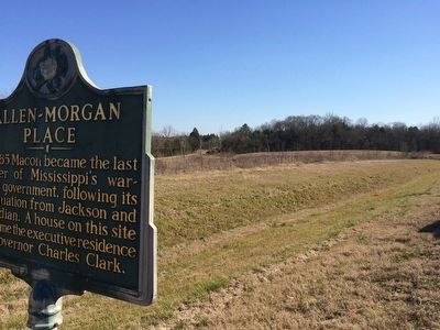
Photographed by Mark Hilton, February 19, 2016
2. Approximate location of former Charles Clark house.
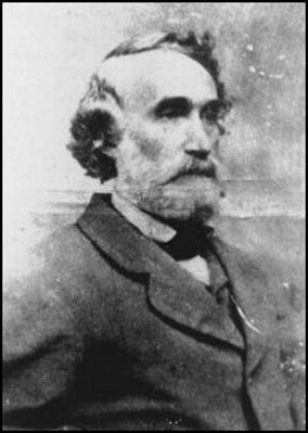
Public Domain
3. Governor Charles Clark
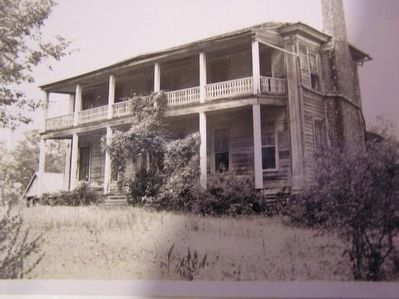
Courtesy, Mississippi Department of Archives and History
4. Former Allen-Morgan house
Photographed by Mark Hilton, February 19, 2016
5. Looking north towards Mississippi Highway 14 intersection.
Credits. This page was last revised on June 16, 2016. It was originally submitted on February 20, 2016, by Mark Hilton of Montgomery, Alabama. This page has been viewed 844 times since then and 28 times this year. Photos: 1, 2, 3, 4, 5. submitted on February 20, 2016, by Mark Hilton of Montgomery, Alabama.
