Livingston in Sumter County, Alabama — The American South (East South Central)
Sumter County's Covered Bridge
Photographed by Mark Hilton, February 19, 2016
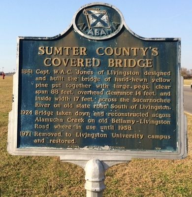
1. Sumter County's Covered Bridge Marker
1860 Captain W. A. C. Jones of Livingston designed and built the bridge of hand-hewn yellow pine put together with large pegs, clear span 88 feet, overhead clearance 14 feet, and inside width 17 feet, across the Sucarnoochee River on old State Road South of Livingston.
1924 Bridge taken down and reconstructed across Alamucha Creek on old Bellamy-Livingston Road where in use until 1958.
1971 Removed to Livingston University campus and restored.
Erected 1972 by Alabama Historical Association.
Topics and series. This historical marker is listed in these topic lists: Bridges & Viaducts • Waterways & Vessels. In addition, it is included in the Alabama Historical Association, and the Covered Bridges series lists. A significant historical year for this entry is 1958.
Location. 32° 35.684′ N, 88° 11.074′ W. Marker is in Livingston, Alabama, in Sumter County. It is on Student Union Drive half a mile south of University Drive, on the right when traveling south. Marker near the Student Union Bookstore. Covered bridge is about 400 feet southwest of marker and crosses the campus Duck Pond. Touch for map. Marker is
this page online

Regionally, this marker is in the American South, specifically in the Deep South, and in the Black Belt. Globally, it is in North America, a Gulf of Mexico state, the Western Hemisphere, the Western World, and the Anglosphere. Historically, it finds itself in what was once New Spain, the territory of the Mississippian Culture, one of the Confederate States of America, and the Antebellum South.
Other nearby markers. At least 8 other markers are within 10 miles of this marker, measured as the crow flies: Livingston State College (approx. half a mile away); Houston-Bailey House (approx. 0.7 miles away); Livingston, Alabama / Livingston's Bored Well (approx. 0.8 miles away); Sumter County Confederate Monument (approx. 0.9 miles away); Sumter County (approx. 0.9 miles away); Livingston, Ala. (approx. 0.9 miles away); Line 32° 28´ North Latitude (approx. 8.1 miles away); York Veterans War Memorial (approx. 9.9 miles away). Touch for a list and map of all markers in Livingston.
Also see . . .
1. Wikipedia article on the covered bridge.
Photographed by Mark Hilton, February 19, 2016
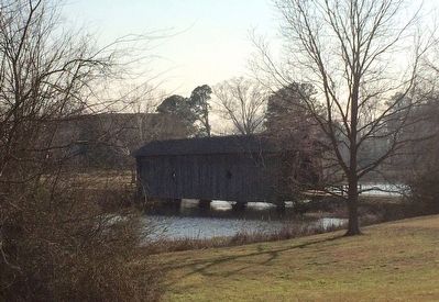
2. Old Covered Bridge
2. Closeup photos of bridge. (Submitted on February 20, 2016, by Mark Hilton of Montgomery, Alabama.)
Photographed by Mark Hilton, February 19, 2016
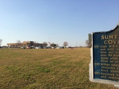
3. View towards Student Union Bookstore
Photographed by Mark Hilton, February 19, 2016
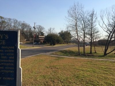
4. The view south on Student Union Drive.
Credits. This page was last revised on June 16, 2016. It was originally submitted on February 20, 2016, by Mark Hilton of Montgomery, Alabama. This page has been viewed 901 times since then and 38 times this year. Photos: 1, 2, 3, 4. submitted on February 20, 2016, by Mark Hilton of Montgomery, Alabama.
