Near Herndon in Fairfax County, Virginia — The American South (Mid-Atlantic)
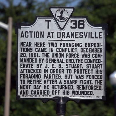
Action At Dranesville
Photographed by J. J. Prats, June 25, 2016
1. Action At Dranesville Marker
Erected 1931 by Conservation and Development Commission. (Marker Number T-36.)
Topics and series. This historical marker is listed in this topic list: War, US Civil. In addition, it is included in the Virginia Department of Historic Resources (DHR) series list. A significant historical date for this entry is December 20, 1861.
Location. 39° 0.043′ N, 77° 20.614′ W. Marker is near Herndon, Virginia, in Fairfax County. It is on Georgetown Pike (Virginia Route 193) just east of Seneca Road (County Route 602), on the right when traveling east. It is a few hundred feet from Georgetown Pike’s intersection with Leesburg Pike (Virginia Route 7). Touch for map. Marker is at or near this postal address: 11516 Leesburg Pike, Herndon VA 20170, United States of America. Touch for directions.

Regionally, this marker is in the
this page online
Other nearby markers. At least 8 other markers are within 3 miles of this marker, measured as the crow flies: Gettysburg Campaign (about 300 feet away, measured in a direct line); Battle of Dranesville (about 600 feet away); Sharpsburg/Antietam Campaign (approx. 0.2 miles away); a different marker also named The Battle of Dranesville (approx. one mile away); U.S. Army Map Service (approx. 1.6 miles away); Great Falls Nike Missile Site (approx. 1.6 miles away); Loudoun County / Fairfax County (approx. 1.9 miles away); Chestnut Grove Cemetery (approx. 2.2 miles away). Touch for a list and map of all markers in Herndon.
Other markers
Photographed by J. J. Prats, June 25, 2016
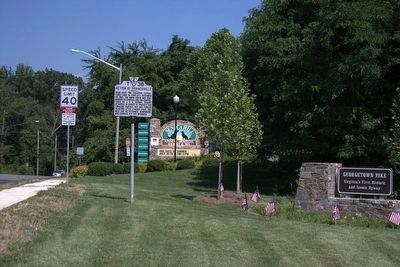
2. Action At Dranesville Marker
Shown at its new location.
More about this marker. This marker was moved here from its original location half a mile away at 38° 59.709′ N, 77° 20.214′ W, on Leesburg Pike (Virginia Route 7) west of Northfalls Court, on the right when traveling west, sometime in 2015 or early in 2016.
Regarding Action At Dranesville. The battle at Dranesville, which was little more than a skirmish, can be cited as the first Federal victory of the war on Southern soil. The action itself centered around the intersection of the Georgetown and Leesburg Pikes, approximately ½ mile further West. Other than roadbeds, no prominent terrain features remain from the time of the battle.
Also see . . . Battle of Dranesville. Reports and other details about the battle. (Submitted on December 19, 2008, by Craig Swain of Leesburg, Virginia.)
Photographed by Craig Swain, June 6, 2007
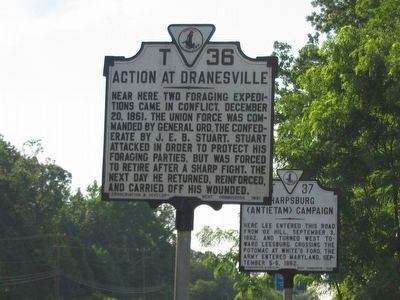
3. Action At Dranesville Marker
At its original location on Route 7. It is now half a mile NW on Georgetown Pike near Route 7.
Photographed by Craig Swain, June 6, 2007
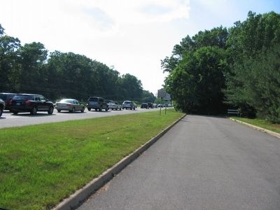
4. Dranesville and Antietam Campaign Markers Before this Marker was Moved
Internet Archive
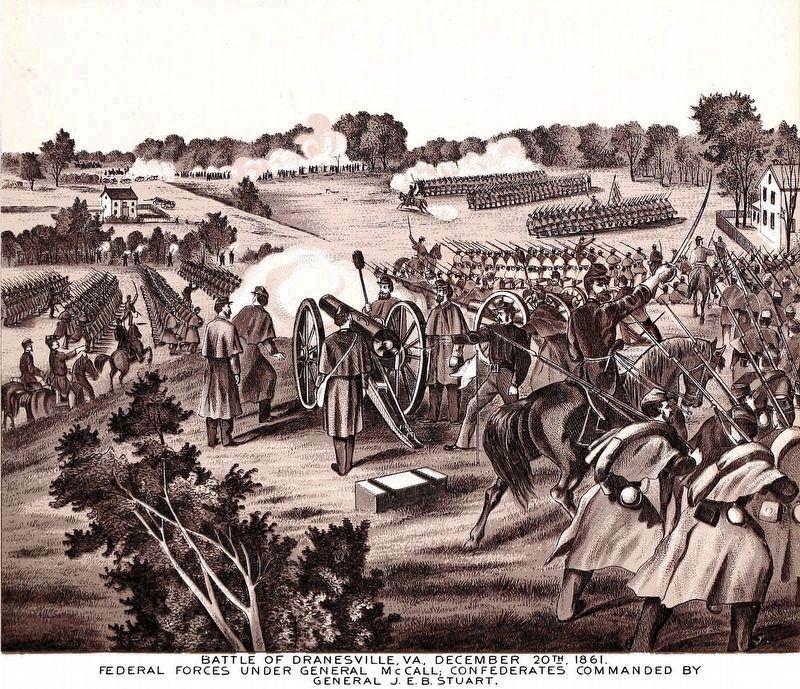
5. Battle of Dranesville, Va, December 20th , 1861.
Federal Forces under General McCall; Confederates Commanded by General J. E. B. Stuart.
from Generals and Battles of the Civil War by Adam W. Bomberger, 1891.
from Generals and Battles of the Civil War by Adam W. Bomberger, 1891.
Credits. This page was last revised on August 16, 2023. It was originally submitted on June 6, 2007, by Craig Swain of Leesburg, Virginia. This page has been viewed 3,755 times since then and 86 times this year. Last updated on February 25, 2016, by Brandon D Cross of Flagler Beach, Florida. Photos: 1, 2. submitted on June 25, 2016, by J. J. Prats of Powell, Ohio. 3, 4. submitted on June 6, 2007, by Craig Swain of Leesburg, Virginia. 5. submitted on August 16, 2023, by Allen C. Browne of Silver Spring, Maryland. • Bernard Fisher was the editor who published this page.
