Liberty in Amite County, Mississippi — The American South (East South Central)
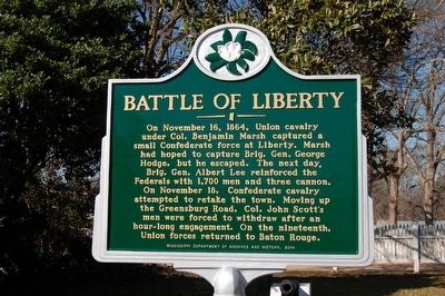
Battle Of Liberty
Erected 2014 by Mississippi Department of Archives and History.
Topics and series. This historical marker is listed in this topic list: War, US Civil. In addition, it is included in the Mississippi State Historical Marker Program series list. A significant historical date for this entry is November 16, 1864.
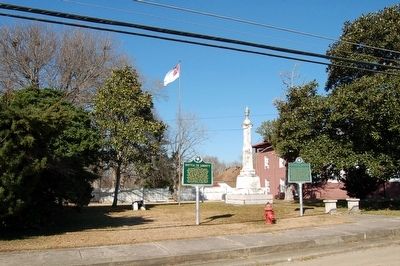
Location. 31° 9.516′ N, 90° 48.539′ W. Marker is in Liberty, Mississippi, in Amite County. Marker is on North Church Street, 0.1 miles Main Street (Mississippi Highway 24/48), on the left when traveling north. Touch for map. Marker is in this post office area: Liberty MS 39645, United States of America. Touch for directions.
Other nearby markers. At least 8 other markers are within 8 miles of this marker, measured as the crow flies. Confederate Monument (here, next to this marker); "Three Chopped Way" (about 500 feet away, measured in a direct line); Amite County Courthouse (about 600 feet away); Liberty (about 700 feet away); Herbert Lee (approx. 0.2 miles away); Amite Female Seminary (approx. 0.2 miles away); Liberty Missionary Baptist Church (approx. 0.3 miles away); John H. Nunnery (approx. 7.7 miles away). Touch for a list and map of all markers in Liberty.
Credits. This page was last revised on July 4, 2022. It was originally submitted on February 26, 2016. This page has been viewed 591 times since then and 57 times this year. Photos: 1, 2. submitted on February 26, 2016. • Bernard Fisher was the editor who published this page.

