Kenmore NE in Tonawanda in Erie County, New York — The American Northeast (Mid-Atlantic)
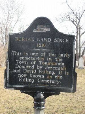
Burial Land Since 1816
Photographed by Anton Schwarzmueller, February 28, 2016
1. Burial Land Since 1816 Marker
Erected 1971 by Erie County Sesquicentennial Committee.
Topics. This historical marker is listed in this topic list: Cemeteries & Burial Sites. A significant historical year for this entry is 1816.
Location. 42° 58.649′ N, 78° 52.01′ W. Marker is in Tonawanda, New York, in Erie County. It is in Kenmore NE. It is at the intersection of Delaware Road and Willow Breeze Road, on the right when traveling north on Delaware Road. Touch for map. Marker is in this post office area: Buffalo NY 14223, United States of America. Touch for directions.

Regionally, this marker is in Upstate New York, specifically in Western New York, and in the Buffalo Metropolitan Area. It is also in the American Northeast and in the Mid-Atlantic. Globally, it is in North America, on the Great Lakes, in the Western Hemisphere, in the Western World, and in the Anglosphere. Historically, it finds itself in what was once the Viceroyalty of New France, the Haudenosaunee (Iroquois) Confederacy, New
this page online
Other nearby markers. At least 8 other markers are within 2 miles of this marker, measured as the crow flies: Sheridan Drive (approx. 0.3 miles away); Kenmore-Tonawanda Honors the Memory (approx. one mile away); Kenmore - Tonawanda Municipal Building (approx. one mile away); In Memory of Those Who Gave Their Lives (approx. one mile away); Park Lawn (approx. one mile away); "Fountain of Memories" (approx. 1.1 miles away); Tonawanda Rails to Trails (approx. 1.1 miles away); Town of Tonawanda Veterans Memorial (approx. 1.2 miles away). Touch for a list and map of all markers in Tonawanda.
Photographed by Anton Schwarzmueller, February 28, 2016
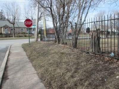
2. Marker at Right
View from Willow Breeze Road. Stop sign is Delaware Road. (Not to be confused with nearby Delaware Avenue.)
Photographed by Anton Schwarzmueller, February 28, 2016
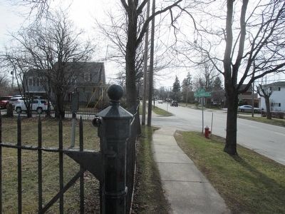
3. Southward
Delaware Road. Marker at left.
Photographed by Anton Schwarzmueller, February 28, 2016
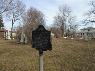
4. Marker & Failing Cemetery
Credits. This page was last revised on February 16, 2023. It was originally submitted on February 28, 2016, by Anton Schwarzmueller of Wilson, New York. This page has been viewed 762 times since then and 39 times this year. Photos: 1, 2, 3, 4. submitted on February 28, 2016, by Anton Schwarzmueller of Wilson, New York.
