Sebastian in Indian River County, Florida — The American South (South Atlantic)
Roseland
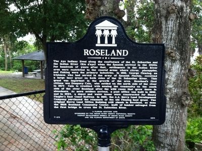
Photographed by Tim Fillmon, May 5, 2015
1. Roseland Marker
this page online
Erected 2014 by The Indian River County Historical Society, Tourist Development Council of Indian River County and the Florida Department of State. (Marker Number F-813.)
Topics. This historical marker is listed in these topic lists: Indigenous Peoples and Communities • Settlements & Settlers.
Location. 27° 50.131′ N, 80° 29.75′ W. Marker is in Sebastian, Florida, in Indian River County. It is at the intersection of 83rd Avenue and Baird Street, on the right when traveling south on 83rd Avenue. Touch for map. Marker is at or near this postal address: 12973 83rd Avenue, Sebastian FL 32958, United States of America. Touch for directions.

Regionally, this marker is in the Space Coast. It is also in the American South and on the Eastern Seaboard. Globally, it is in the North Atlantic Region, North America, a Gulf of Mexico state, the Western Hemisphere, the Western World, and the Anglosphere. Historically, it finds itself in what was once New Spain, the territory of the Mississippian
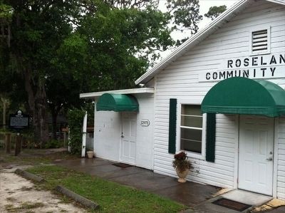
Photographed by Tim Fillmon, May 5, 2015
2. Roseland Marker with Community Center
Other nearby markers. At least 8 other markers are within 2 miles of this marker, measured as the crow flies: Moore's Point (approx. 1.1 miles away); Sebastian Veterans Memorial (approx. 1.2 miles away); Park Family Cemetery (approx. 1.2 miles away); Sebastian Grammar School (approx. 1.8 miles away); Cannon (approx. 2 miles away); 1715 "Spanish Plate Fleet" (approx. 2 miles away); Nuestra Senora de Atocha (approx. 2 miles away); Iron Cannon (approx. 2 miles away). Touch for a list and map of all markers in Sebastian.
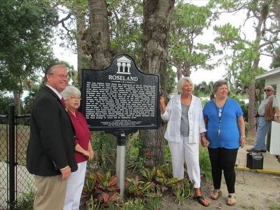
Photographed by Tim Fillmon, April 21, 2015
3. Roseland Marker Dedication
Credits. This page was last revised on August 21, 2017. It was originally submitted on March 17, 2016, by Tim Fillmon of Webster, Florida. This page has been viewed 2,036 times since then and 113 times this year. Photos: 1, 2, 3. submitted on March 17, 2016, by Tim Fillmon of Webster, Florida. • Bernard Fisher was the editor who published this page.
