Near Newkirk in Guadalupe County, New Mexico — The American Mountains (Southwest)
Llano Estacado
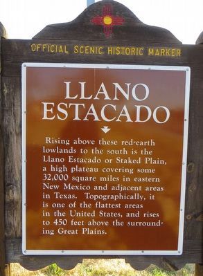
Photographed by Bill Kirchner, March 15, 2016
1. Llano Estacado Marker
Erected by New Mexico Historic Preservation Division.
Topics. This historical marker is listed in this topic list: Environment.
Location. 35° 4.075′ N, 104° 14.297′ W. Marker is near Newkirk, New Mexico, in Guadalupe County. It can be reached from Interstate 40 at milepost 300, on the right when traveling east. Marker is in the eastbound rest area. Touch for map. Marker is in this post office area: Newkirk NM 88431, United States of America. Touch for directions.

Regionally, this marker is in Eastern New Mexico. It is also in the American Southwest, on the Great Plains, on the Southern Plains, on the High Plains, and on the Santa Fe Trail Corridor. Globally, it is in North America, the Western Hemisphere, the Western World, and the Anglosphere.
this page online
Other nearby markers. At least one other marker is within walking distance of this marker: Comanche Country (about 600 feet away, measured in a direct line).
Photographed by Bill Kirchner, March 15, 2016
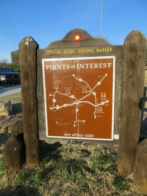
2. Llano Estacado Marker
Back of Marker
Points of Interest
New Mexico's Historic Markers typically have a map on the back side showing the location of other OSHM's. This is an excellent source of information when exploring for other Historical Markers and locations.
Points of Interest
New Mexico's Historic Markers typically have a map on the back side showing the location of other OSHM's. This is an excellent source of information when exploring for other Historical Markers and locations.
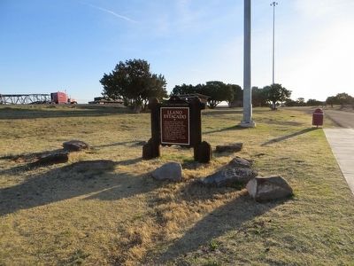
Photographed by Bill Kirchner, March 15, 2016
3. Llano Estacado Marker
Credits. This page was last revised on June 16, 2016. It was originally submitted on March 22, 2016, by Bill Kirchner of Tucson, Arizona. This page has been viewed 1,574 times since then and 121 times this year. Photos: 1, 2, 3. submitted on March 22, 2016, by Bill Kirchner of Tucson, Arizona.
