South Park in Buffalo in Erie County, New York — The American Northeast (Mid-Atlantic)
Ship Canal Commons
Historical Authenticity and Park Design
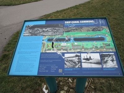
Actual photograph of Buffalo Ship Canal site circa 1950s
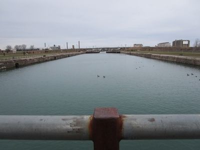
While creating a new public park was the goal of developing Ship Canal Commons, this site is also crucial to telling the story of steel production and heavy industry in South Buffalo. The Union Ship Canal is one of the few physical reminders left of steel production, an industry historically significant to the economic growth of the region.
This site's former occupant, The Hanna Furnace Corporation, employed hundreds in the production of pig iron. The canal was essential in transporting the materials needed for the creation and shipment of this product. Specifically, iron ore and limestone were carried on freighters from throughout the Great Lakes and once docked, bridge cranes lining the canal worked to offload material from the ships into piles for storage.
Various park features have been included in the design to help tell the story: Match the number below to the corresponding number in the images:
1) Tree rows/bands of stone or "shadow lines" placed to mimic the cranes.
2) Promenade paving pattern loosely mimics the rail line once used by the bridge cranes.
3) Land forms were created to simulate the enormous piles of limestone and ore that once lined the canal's edge.
4) Pedestrian bridge crossing the canal mimics the structural framing of the former bridge cranes.
5) Densely planted "blocs" of trees reflect the tightly packed, imposing structures that once stood here.
6) Over two miles of multi-use pathways reflect the railroad tracks that once crossed the site. 7) The northeast corner boardwalk aligns with the historical edge of the canal wall that collapsed.
When developing park design, simplistic layout, utilitarian details, minimalistic plantings, and a minimum of special park frills all contributed to the park's representation of this important industrial site.
Several artifacts were discovered and salvaged during construction and are on display:
Explore the site and see if you can find:
• Pile of Ingots
• Railroad Rail
• Iron Pellets
• Iron Tank
• Water Intake Vault
• Anchor
Promedade paving patter at 2 replicates the rai lline at canal's edge. Photo Credit: Former employees of Hanna Furnace.
The landforms at 3 simulate piles of limestone and ore.
The pathways at 6 reflect the railroad tracks that once crossed the site.
Erected by New York State Department of State.
Topics. This historical marker is listed in these topic lists: Environment • Industry & Commerce.
Location. 42° 50.071′ N, 78°
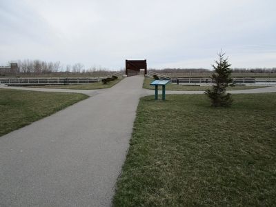
51.006′ W. Marker is in Buffalo, New York, in Erie County. It is in South Park. Marker is on Ship Canal Parkway, 0.2 miles North Gates Avenue, on the left when traveling east. Marker is on the south side of the canal near the main parking lots and pedestrian bridge. Touch for map. Marker is in this post office area: Buffalo NY 14218, United States of America. Touch for directions.
Other nearby markers. At least 8 other markers are within walking distance of this marker. Hanna Furnace (about 300 feet away, measured in a direct line); Environmental Remediation (approx. 0.2 miles away); Ecological Restoration (approx. 0.2 miles away); Industrial Icons (approx. 0.2 miles away); Wind Power on the Waterfront (approx. ¼ mile away); Railroads and the Steel Industry (approx. ¼ mile away); Bethlehem Steel in Lackawanna (approx. ¼ mile away); a different marker also named Bethlehem Steel in Lackawanna (approx. ¼ mile away). Touch for a list and map of all markers in Buffalo.
Credits. This page was last revised on February 16, 2023. It was originally submitted on April 15, 2016, by Anton Schwarzmueller of Wilson, New York. This page has been viewed 432 times since then and 23 times this year. Photos: 1, 2, 3. submitted on April 15, 2016, by Anton Schwarzmueller of Wilson, New York.


