New Brunswick in Middlesex County, New Jersey — The American Northeast (Mid-Atlantic)
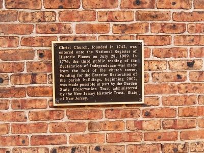
Christ Church
Photographed by Don Morfe, April 7, 2016
1. Christ Church Marker
Topics. This historical marker is listed in these topic lists: Colonial Era • Religion & Religious Structures • War, US Revolutionary.
Location. 40° 29.75′ N, 74° 26.571′ W. Marker is in New Brunswick, New Jersey, in Middlesex County. It is on Paterson Street. The marker is affixed to the exterior wall at the back entrance door of the church. Touch for map. Marker is at or near this postal address: 5 Paterson Street, New Brunswick NJ 08901, United States of America. Touch for directions.

Regionally, this marker is in Central Jersey, in Greater Princeton, and in the New York City Metropolitan Area. It is also in the American Northeast,
this page online
Other nearby markers. At least 8 other markers are within walking distance of this marker: Christ Church Parish (here, next to this marker); Brigadier General Anthony Walton White (here, next to this marker); Route Taken by Washington (about 300 feet away, measured in a direct line); The First Classes of Queen's College (Rutgers University) (about 400 feet away); New Brunswick Inn Site (about 400 feet away); Innovation (about 600 feet away); New Brunswick (about 700 feet away); College Hall (approx. 0.2 miles away). Touch for a list and map of all markers in New Brunswick.
Photographed by Don Morfe, April 7, 2016
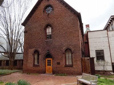
2. Christ Church
The marker is located on the church wall on the right side of the entrance door.
Photographed by Don Morfe, April 7, 2016
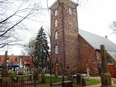
3. Christ Church Tower
Photographed by Don Morfe, April 7, 2016
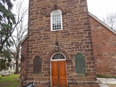
4. Christ Church Tower-close up of the entrance doors
Photographed by Don Morfe, April 7, 2016
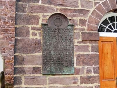
5. Christ Church-Tower tablet-Left side
(Partial wording)-Meeting on the relief of widows and children of clergymen held in this church May 11th, 1784.
Photographed by Don Morfe, April 7, 2016
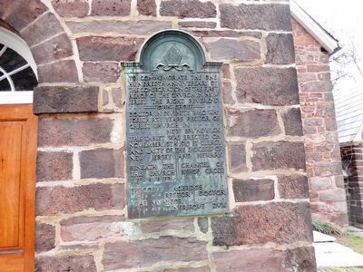
6. Christ Church Tower Tablet- Right side
(Partial wording)To commemorate the one hundredth anniversary of the consecration of first bishop of the church in New Jersey, the Right Reverend John Croes,
Credits. This page was last revised on June 16, 2016. It was originally submitted on April 18, 2016, by Don Morfe of Baltimore, Maryland. This page has been viewed 578 times since then and 43 times this year. Photos: 1, 2, 3, 4, 5, 6. submitted on April 18, 2016, by Don Morfe of Baltimore, Maryland. • Bill Pfingsten was the editor who published this page.
