Potsdam in Berlin, Brandenburg, Germany — Central Europe
Glienicker Brucke
| — | Berliner Gedenktafel | — |
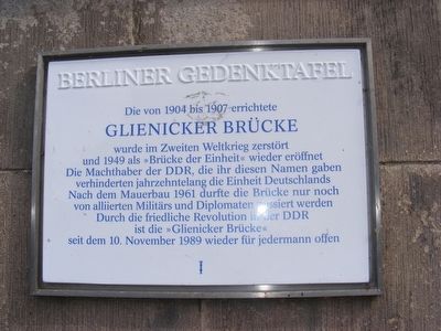
Photographed by Don Morfe, July 6, 2008
1. Glienicker Brucke Marker
English translation:
The Glienicker Bridge was built between 1904 and 1907 and was destroyed in World War II and reopened in 1949 as Union Bridge. For decades the leaders of East Germany who chose this name fought against unification of Germany.
After the Berlin Wall was built in 1961 only allied military personnel and diplomats were allowed to pass on the bridge. Since Nov. 10, 1989, the bridge has reopened for everybody due to the peaceful revolution in East Germany.
Topics and series. This memorial is listed in this topic list: War, Cold. In addition, it is included in the Berlin Wall series list.
Location. 52° 24.808′ N, 13° 5.413′ E. Memorial is in Potsdam, Brandenburg, in Berlin. It is on Berliner Strasse. The Glienicker Bridge was also known as the Spy Bridge. On Feb 10, 1962, Colonel Rudolph Able, the Soviet master-spy was exchanged for U2 spy-plane pilot Francis Gary Powers, who as shot down while flying a covert spy mission over the Soviet Union. He had been sentenced to death. The exchange occurred on this bridge at the white line. Touch for map. Touch for directions.

Regionally,
this page online
Other nearby markers. At least 7 other markers are within 23 kilometers of this marker, measured as the crow flies: "Berliner Mauer" (here, next to this marker); Neuer Garten (New Garden) (approx. 1.5 kilometers away); Cecilienhof Palace (approx. 1.5 kilometers away); German headquarters of the Soviet military Counter Intelligence (approx. 1.6 kilometers away); Passenger Car of the French Military Train (approx. 13.2 kilometers away in Berlin); Berlin Airlift (approx. 13.2 kilometers away in Berlin); Höchster Baum Berlins (approx. 22.1 kilometers away in Berlin).
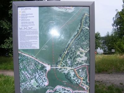
Photographed by Don Morfe, July 6, 2008
2. Glienicker Brucke (Bridge)-Ariel view
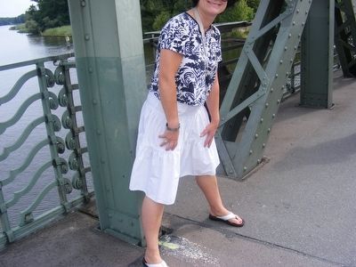
Photographed by Don Morfe, July 6, 2008
3. Glienicker Brucke (Bridge)-Local guide straddling the white line.
The white line separated East Germany and West Germany
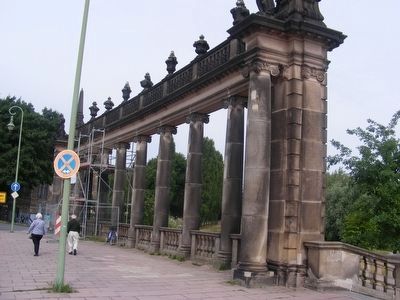
Photographed by Don Morfe, July 6, 2008
4. Glienicker Brucke-a portion of the bridge
Credits. This page was last revised on September 8, 2025. It was originally submitted on April 23, 2016, by Don Morfe of Baltimore, Maryland. This page has been viewed 503 times since then and 22 times this year. Photos: 1, 2, 3, 4. submitted on April 23, 2016, by Don Morfe of Baltimore, Maryland. • Bill Pfingsten was the editor who published this page.
