Fort Story in Virginia Beach, Virginia — The American South (Mid-Atlantic)
British Naval Blockade and Cape Henry Lighthouse / The War of 1812
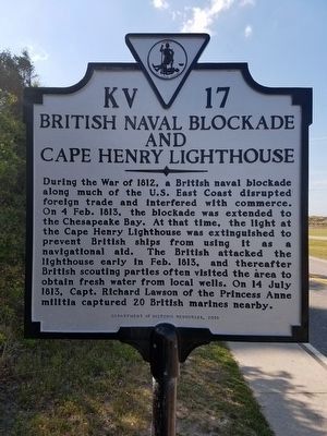
British Naval Blockade and Cape Henry Lighthouse. During the War of 1812, a British naval blockade along much of the U.S. East Coast disrupted foreign trade and interfered with commerce. On 4 Feb. 1813, the blockade was extended to the Chesapeake Bay. At that time, the light at the Cape Henry Lighthouse was extinguished to prevent British ships from using it as a navigational aid. The British attacked the lighthouse early in Feb. 1813, and thereafter British scouting parties often visited the area to obtain fresh water from local wells. On 14 July 1813, Capt. Richard Lawson of the Princess Anne militia captured 20 British marines nearby.
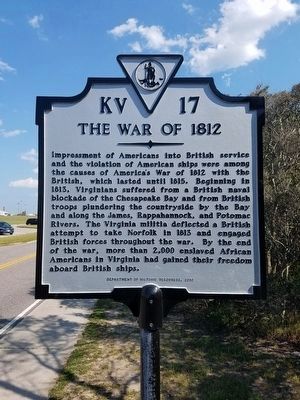
The War of 1812. Impressment of Americans into British service and the violation of American ships were among the causes of America’s War of 1812 with the British, which lasted until 1815. Beginning in 1813, Virginians suffered from a British naval blockade of the Chesapeake Bay and from British troops’ plundering the countryside by the Bay and along the James, Rappahannock, and Potomac rivers. The Virginia militia deflected a British attempt to take Norfolk in 1813, and engaged British forces throughout the war. By the end of the war, more than 2000 enslaved African Americans in Virginia had gained their freedom aboard British ships.
Erected
Topics and series. This historical marker is listed in these topic lists: War of 1812 • Waterways & Vessels. In addition, it is included in the Lighthouses, and the Virginia Department of Historic Resources (DHR) series lists. A significant historical year for this entry is 1813.
Location. 36° 55.545′ N, 76° 0.447′ W. Marker is in Virginia Beach, Virginia. It is in Fort Story. Marker is on Atlantic Avenue just east of Cape Henry Road, on the right when traveling east. Touch for map. Marker is in this post office area: Virginia Beach VA 23459, United States of America. Touch for directions.
Other nearby markers. At least 8 other markers are within walking distance of this marker. Old Cape Henry Lighthouse (within shouting distance of this marker); Fort Story (within shouting distance of this marker); First Public Works Project of the United States Government (within shouting distance of this marker); History of Cape Henry Lighthouse (within shouting distance of this marker); First Landing (within shouting distance of this marker); Cape Henry Railroads (about 300 feet away, measured in a direct line); Battle of the Capes 1781 (approx. 0.2 miles away); Cape Henry Memorial (approx. 0.2 miles away). Touch for a list and map of all markers in Virginia Beach.
Also see . . .
1. O! Say Can You See? . . . The War of 1812 in the Chesapeake. National Park Service, Star-Spangled Banner National Historic Trail (Submitted on August 19, 2019.)
2. Star-Spangled Banner Byway, Maryland Scenic Byways. Maryland Tourism Website entry (Submitted on August 19, 2019.)

Photographed By Larry Gertner, May 25, 2021
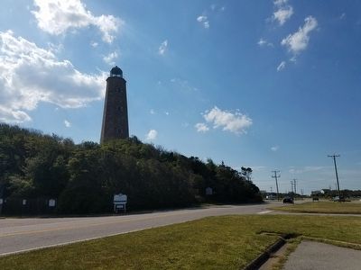
4. Cape Henry Lighthouse
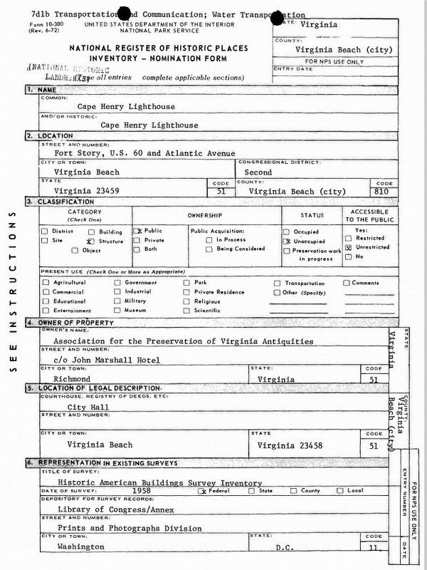
NPS National Register of Historic Places registration form
Click for more information.
Click for more information.
Credits. This page was last revised on February 1, 2023. It was originally submitted on April 28, 2016, by Kevin W. of Stafford, Virginia. This page has been viewed 688 times since then and 39 times this year. Photos: 1, 2, 3. submitted on April 28, 2016, by Kevin W. of Stafford, Virginia. 4. submitted on May 25, 2021, by Larry Gertner of New York, New York.


