Near Bucyrus in Crawford County, Ohio — The American Midwest (Great Lakes)
The Sandusky Plains
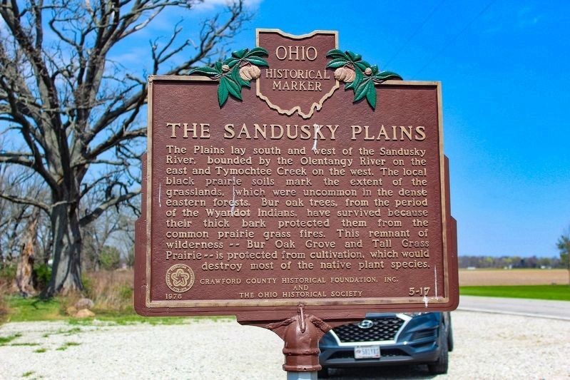
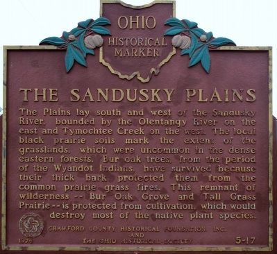
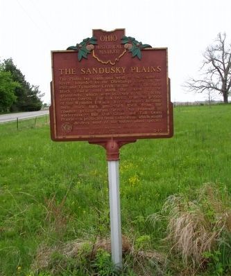
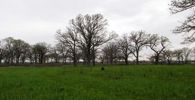
The Plains lay south and west of the Sandusky River, bounded by the Olentangy River on the east and Tymochtee Creek on the west. The local black prairie soils mark the extent of the grasslands, which were uncommon in the dense eastern forests. Bur Oak trees, from the period of the Wyandot Indians, have survived because their thick bark protected them from the common prairie grass fires. This remnant of wilderness--Bur Oak Grove and Tall Grass Prairie--is protected from cultivation, which would destroy most of the native plant species.
Erected 1976 by Crawford County Historical Foundation, Inc. The Ohio Historical Society. (Marker Number 5- 17.)
Topics and series. This historical marker is listed in these topic lists: Environment • Horticulture & Forestry. In addition, it is included in the Ohio Historical Society / The Ohio History Connection series list.
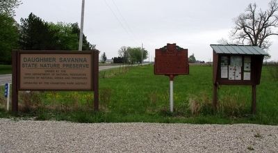
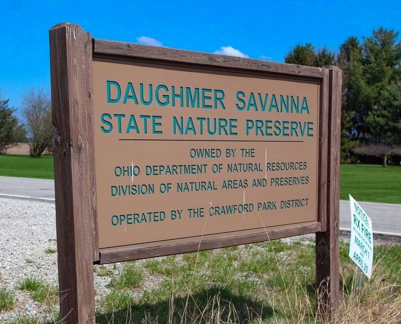
Location. 40° 43.746′ N, 83° 5.552′ W. Marker is near Bucyrus, Ohio, in Crawford County. Marker is on Marion Melmore Rd (County Route 1), on the right when traveling south. Marker is at the Daughmer Savanna State Nature Preserve's parking lot. Touch for map. Marker is at or near this postal address: 786 Marion Melmore Rd, Bucyrus OH 44820, United States of America. Touch for directions.
Other nearby markers. At least 8 other markers are within 9 miles of this marker, measured as the crow flies. Brush Ridge Veterans Memorial (approx. 4.2 miles away); to Fort Morrow / to Fort Ferree (approx. 5.7 miles away); Scioto Ordnance Plant Site (approx. 6.2 miles away); Veterans Memorial (approx. 7˝ miles away); Our Unknown Dead (approx. 7.9 miles away); World War II Displacement (approx. 7.9 miles away); The Underground Railroad in Crawford County (approx. 8 miles away); Linn Block (approx. 8.1 miles away). Touch for a list and map of all markers in Bucyrus.
Credits. This page was last revised on May 26, 2023. It was originally submitted on May 9, 2016, by Rev. Ronald Irick of West Liberty, Ohio. This page has been viewed 871 times since then and 54 times this year. Photos: 1. submitted on May 13, 2023, by Alex Krempasky of Obetz, Ohio. 2, 3, 4, 5. submitted on May 9, 2016, by Rev. Ronald Irick of West Liberty, Ohio. 6. submitted on May 13, 2023, by Alex Krempasky of Obetz, Ohio. • Bill Pfingsten was the editor who published this page.
