Near Coleman in Coleman County, Texas — The American South (West South Central)
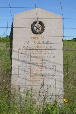
Ruins of Camp Colorado
Moved in August, 1856, to this site
Abandoned by Federal troops February 26, 1861
The site became the property in 1870 of Henry Sackett (1851 - 1928), who built his home here in 1879
From here he, with Maltby’s Rangers, in 1874, pursued the bands of Big Foot and Jape, Comanche chiefs, and defeated them
Erected 1936 by State of Texas. (Marker Number 4381.)
Topics and series. This historical marker is listed in these topic lists: Forts and Castles • Wars, US Indian. In addition, it is included in the Texas 1936 Centennial Markers and Monuments series list. A significant historical month for this entry is August 1856.
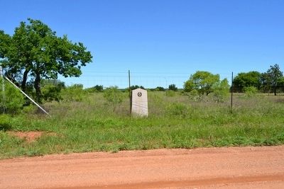
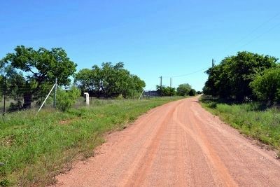
Location. 31° 52.965′ N, 99° 15.915′ W. Marker is near Coleman, Texas, in Coleman County. Marker is on County Road 140, 4 miles east of Farm to Market Road 1176, on the right when traveling east. Touch for map. Marker is in this post office area: Coleman TX 76834, United States of America. Touch for directions.
Other nearby markers. At least 8 other markers are within 10 miles of this marker, measured as the crow flies. Home Town of Texas Confederate Colonel James E. McCord (approx. 9.8 miles away); Camp Colorado C.S.A. (approx. 9.8 miles away); Coleman County Jail (approx. 9.9 miles away); County Named in 1857 for Robert M. Coleman (approx. 9.9 miles away); Co. B, 142nd Infantry, 36th Division Memorial (approx. 9.9 miles away); Mrs. J.A.B. Miller Public Library Building (approx. 9.9 miles away); Western Cattle Trail (approx. 9.9 miles away); Original Coleman County Court House (approx. 9.9 miles away). Touch for a list and map of all markers in Coleman.
Also see . . . Camp Colorado. From the Texas State Historical Association’s “Handbook of Texas Online”. (Submitted on May 10, 2016.)
Additional commentary.
1. Remains of Camp Colorado
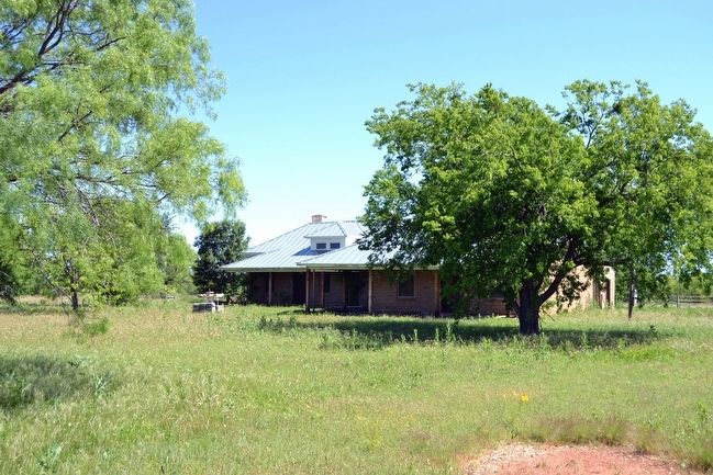
The only remaining building of Camp Colorado is the guard house. The guard house is attached to the rear of the Sackett Home, which is located 200 feet east of the marker. The guard house is visible from County Road 140. The walls of the Sackett Home include some rocks from the original buildings of the camp.
The Camp Colorado Cemetery, established in 1857 as the camp cemetery, is located a half mile east of the marker. Most, if not all, of the soldiers buried
at the cemetery were later moved and re-interred in San Antonio. The rock wall enclosure in the cemetery where the soldiers were buried still remains in the cemetery. Many pioneers of the area and their descendants are buried in the cemetery.
A 1936 replica of the camp administration building may be viewed at Coleman City Park.
— Submitted May 10, 2016.
Credits. This page was last revised on August 27, 2020. It was originally submitted on May 10, 2016, by Duane Hall of Abilene, Texas. This page has been viewed 1,000 times since then and 117 times this year. Photos: 1, 2, 3, 4. submitted on May 10, 2016, by Duane Hall of Abilene, Texas.


