Abilene in Taylor County, Texas — The American South (West South Central)
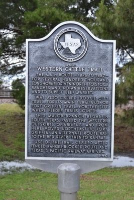
Site of Western Cattle Trail
The main route–1876 to 1887–for several hundred thousand longhorns driven north to stock ranches and Indian reservations and to supply beef market.
Was also called Dodge City Trail, for its main terminus; or Fort Griffin Trail, for the site where feeder trails joined.
This major branch began in south Texas, passed the western outskirts of Abilene, and from here moved northeast to Fort Griffin. An alternate route ran to the Red River, then to Kansas.
Use of the trail ceased after fenced ranges blocked route and Texas & Pacific Railway arrived.
Erected 1968 by State Historical Survey Committee. (Marker Number 4913.)
Topics. This historical marker is listed in these topic lists: Animals • Roads & Vehicles. A significant historical year for this entry is 1876.
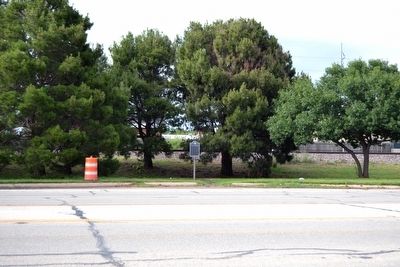
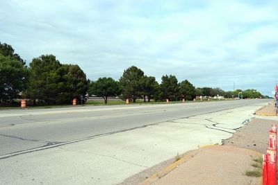
Location. 32° 27.098′ N, 99° 46.326′ W. Marker is in Abilene, Texas, in Taylor County. Marker is on S. 1st Street, 0.1 miles west of Leggett Drive, on the right when traveling west. Touch for map. Marker is in this post office area: Abilene TX 79605, United States of America. Touch for directions.
Other nearby markers. At least 8 other markers are within 2 miles of this marker, measured as the crow flies. Company I 7th Texas Infantry (approx. 1.1 miles away); Abilene Woman's Club Building (approx. 1.4 miles away); Childers Classical Institute (approx. 1˝ miles away); Hattie and Henry Sayles, Sr., House (approx. 1˝ miles away); Magee House (approx. 1.6 miles away); Sacred Heart Catholic Church (approx. 1.9 miles away); Site of Guitar Mansion (approx. 1.9 miles away); Old Weather Bureau Building (approx. 1.9 miles away). Touch for a list and map of all markers in Abilene.
Also see . . . Western Trail. From the Texas State Historical Association’s “Handbook of Texas Online”. (Submitted on May 16, 2016.)
Credits. This page was last revised on November 29, 2020. It was originally submitted on May 16, 2016, by Duane Hall of Abilene, Texas. This page has been viewed 363 times since then and 24 times this year. Photos: 1, 2, 3. submitted on May 16, 2016, by Duane Hall of Abilene, Texas.


